From Poggiardo to the south coast among Messapian warriors, landing places and karstic caves
To complete the exploration of the area south of Otranto, you can take the train to the FSE station in Poggiardo. The railway marks the boundary between town and countryside and also acts as the western limit of this itinerary, which once again looks eastwards. The bare area of the square dedicated to Giovanni Falcone is connected to the centre by the straight stretch of Viale della Repubblica. However, the route deviates towards the inner parallel, which is quieter and in fact a sort of natural cycle path towards the historic centre. A number of ornate palazzotti begin to overlook Piazza Regina Margherita and it is easy to reach the centre of town, with a view of the town hall and the early twentieth-century building of the Istituto Statale d'Arte. It is best to postpone a more relaxed visit until the return journey and head straight for the Parco dei Guerrieri di Vaste (1.8 km). Our route passes through the 20-hectare archaeological area and the park is marked by a majestic portal. Excavations have brought to light the remains of one of the most important centres of Messapia, that of Bastae, and thanks to some reconstructions and various explanatory panels it is possible to learn more about the uses and constructions of the ancient people of Salento. If you want to continue your discovery and admire the famous Messapian "trozzelle", remember to visit the Sigismondo Castromediano Museum in Lecce. For some interesting reading, we suggest the dedicated page of the Salogenis web portal (http://www.salogentis.it/2011/01/02/il-parco-dei-guerrieri-di-vaste-poggiardo/) edited by the Arches Association. The park may not be open and usable, so try to bypass the area and continue towards the small square of Vaste and the provincial road leading to Ortelle (km 4). Before passing through the centre and admiring the Chiesa Madre di San Giorgio, make a small diversions to the right for a quick visit to the area of the church of San Vito e Santa Maria. An important fair is held here at the end of October and the crypt of the Madonna della Grotta, dating back to the 13th century, is also in this area.
Leaving Ortelle we take a low-traffic road, via Petracca, which at one point crosses the SP81. Continue through olive groves and dry stone walls until you come to a fork in the road that takes you onto the "old road" to Castro, which leads inland to Spongano (8 km). The trail enters and leaves the village, greeted by the Osanna menhir, but it is worth taking a stroll through the narrow streets of the centre. The ancient castle, later transformed into a palace by the Barons Bacile di Castiglione, is now a historic residence where it is also possible to stay.
The itinerary continues on to Diso (11.5 km) and Vignacastrisi (13 km), a hamlet of Ortelle, before arriving at Marittima (15 km), a hamlet of Diso, along part of the route of the Via Francigena del Sud. The centre of Marittima has recently been redeveloped with new paving stones and the streets are wider than those of the small towns crossed previously. This, however, makes them vulnerable to parked cars and it will depend a lot on how you feel and the situation you find yourself in to decide whether or not to stop, perhaps for a short break, in front of the Torre di Alfonso (named after the owner) in Via Cellini, right next to the elegant baronial palazzo Maglietta, whose history you can read in a marble epigraph. Here, too, you can make a small diversions to the cemetery, on the road to Castro, to discover the church of Santa Maria di Costantinopoli.
Another old road and here we are in Andrano (km 18). The entire area around the castle, a 13th-century Salento fortress later converted into a palace, is worth a closer look. Now home to the Pro Loco and the consortium that manages the Costa Otranto - Santa Maria di Leuca and Bosco di Tricase Regional Nature Park, Andrano Castle is also used as a venue for exhibitions, conferences and various municipal initiatives. It might be worth extending the route to visit the hamlet of Castiglione d'Otranto. For several years now, every 31 August, there has been the Notte Verde (Green Night), an event on sustainable farming practices, solidarity economy and harmonious development of the territory organised by the Casa delle AgriCulture Tullia e Gino (https://www.casadelleagriculturetulliaegino.com). Buy some good hot bread produced in Salento's first community mill.
From Andrano, however, our route quickly gains spectacular views of the Adriatic, passing along several sheep-tracks and cart tracks before quickly slipping into the municipal marina. From the car park in front of the coastal tower there are several paths, the most famous of which is the one leading south to the Serra del Mito, to be done exclusively on foot.
By bike, on the other hand, you can enjoy a close-up view of the coast along the new pedestrianised 'agave' promenade, which then continues along Viale Europa. Once on the coastal road, you can pedal effortlessly more or less on the flat for about 5 km before arriving in Castro (km 28). One of the few towns in Salento that is not just a place of second homes but inhabited all year round, it takes its name from the ancient Castrum Minervae due to the presence of a temple consecrated to Minerva or Athena according to Greek mythology. We have only been certain of this for a very short time thanks to the excavation campaigns conducted by the University of Salento and coordinated by Salento archaeologist Francesco D'Andria. Just think that after an initial discovery of part of the bust of the statue dedicated to the goddess in 2015, other parts were found in the following years. It is therefore certain that this is the place where, according to legend, Aeneas landed on his journey across the Mediterranean. Castro is therefore an important stop on the European cultural itinerary dedicated to the myth of the Aeneid (https://www.aeneasroute.org/) and you shouldn't miss a visit to the town museum, which will reveal more details of this thousand-year-old story (https://www.museoarcheologicocastro.it).
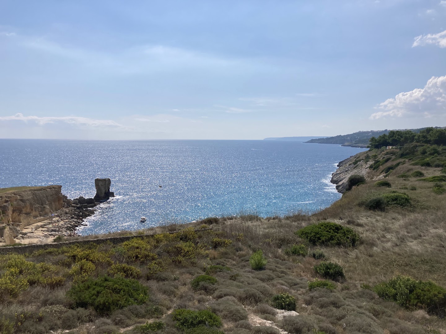
Just outside the town, going up the coast road, you will find Grotta Zinzulusa, the only Italian karstic site among the ten in the world to be listed by the Karst Waters Institute (KWI) as worthy of protection. Grotta Zinzulusa is one of the most interesting manifestations of karst phenomena in the Salento area and is one of the most famous destinations in Salento. Here you can not only visit the Romanelli cave from land or sea, but also take a dip in the crystal clear waters of the sea.
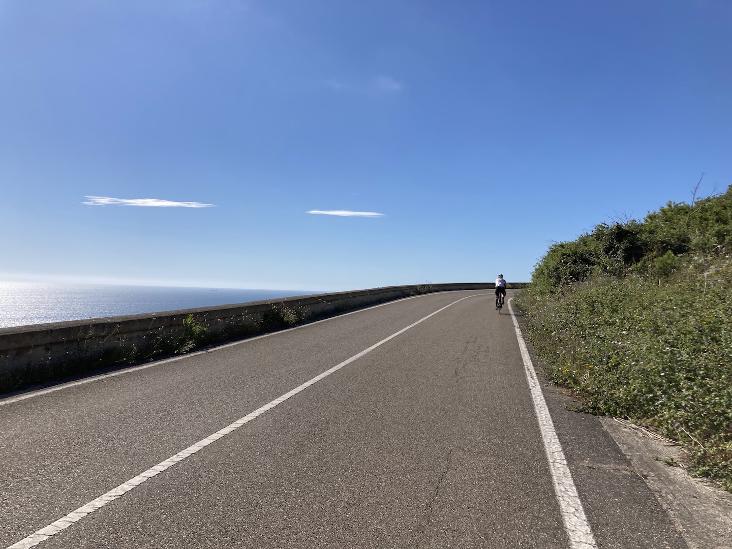
You'll be enraptured by the views and beauty of the coastline as far as Porto Miggiano and Santa Cesarea Terme (34 km). Be sure to admire the eclectic Raffaella and Sticchi villas, the latter exquisitely inlaid with arabesque motifs and with its unmistakable ochre-coloured dome that contrasts with some indigo bands and provides the perfect backdrop for an iconic photo of this route. Unfortunately, the spa is still closed and in the process of being relaunched, but some of the streets and squares have been given a new look and it is pleasant to walk through Via Roma and the hotel area.
Now, however, we head back inland and it takes at least 2 km of hairpin bends to reach the point where we turn right from this scenic route onto Via Madonna dell'Idri. Dry stone walls, olive trees and cultivated fields lead us to the chapel, actually a small church, dedicated to the Virgin and recently restored. It is halfway between the coast and the hamlet of Cerfignano (km 40), another town with tiny streets suitable for both people and bicycles, followed closely by Cocumola (km 41.5), another hamlet, this time in Minervino di Lecce. These towns, like others in the area, are famous for the Tavole di San Giuseppe, the traditional folk event that every 19 March renews the banquets set up in the homes of local families, open to visitors. A sign of how much the inhabitants are inclined to hospitality and devotion.
Just a few more kilometres to return to Poggiardo, following, as always, a low-traffic road. In the end, the total number of kilometres will certainly be more than the 47 provided by the route, especially if you have followed all the suggested detours and opportunities for local exploration. But Poggiardo is also the ideal place to end this journey with a visit to the local museum of Byzantine frescoes and a moment of relaxation in the sumptuous garden of Villa Episcopo. All of this with an eye on the next Sud Est train that will take you back to Otranto, unless you decide to spend the night here, staying in a B&B or one of the many farms in the area, perhaps treating yourself to a dinner out to the sound of crickets, as you look back over all the places you have passed through.
47,4 km
Path length
Gallery


- Presence of handrails: No
- Presence of parking areas: Yes
- Frequency of parking areas: Un'area ogni 5 km
- Longitudinal and transverse slope: Max 9,2%; Min -9,8%
- Nature of the paving of the path: Asfalto
