Otranto and surroundings - From the sea to the lakes in the beauty of the hinterland
From the sea to the hinterland, passing by a historic farmhouse and the lake: the cycle route from Otranto up the Valle dell'Idro through a sea of olive trees is very varied. With your back to the bay, it only takes a few metres to leave the urbanised centre and find yourself in the countryside: just take the Idro municipal road, an entirely tarmac road that looks like a natural cycle path, were it not for car traffic (which fortunately prefers other routes). The road, in fact, has a very narrow carriageway and for this reason it is necessary to pay attention to the passage of cars.
We cycle through the Valle dell'Idro (km 0.4), named after the watercourse fed by springs on the north side of the valley, the sources of Carlo Magno, which are a little higher up. It's only a stream, but just enough for the valley's vegetable gardens that feed the community of Otranto (here, among other things, they grow water-fed chicory, a local speciality). Water that in the past was even used to build a real small aqueduct to meet the military needs of the port bases (the British built it) and those of the local population. The route climbs, but the difference in height is fairly slight.
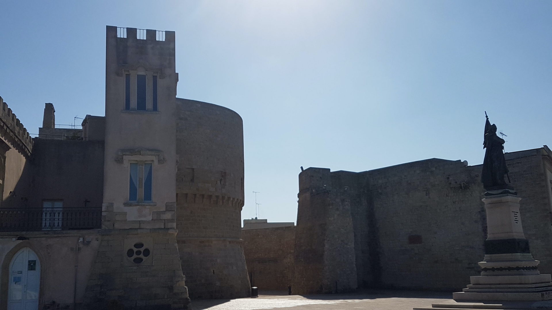
Gradually the olive trees take over and then give way to small cultivated fields when you get near Casamassella (km 5.8), a small hamlet of Minervino di Lecce, which welcomes you with its singular, peaceful square overlooked by the imposing castle, now an accommodation facility and location for ceremonies.
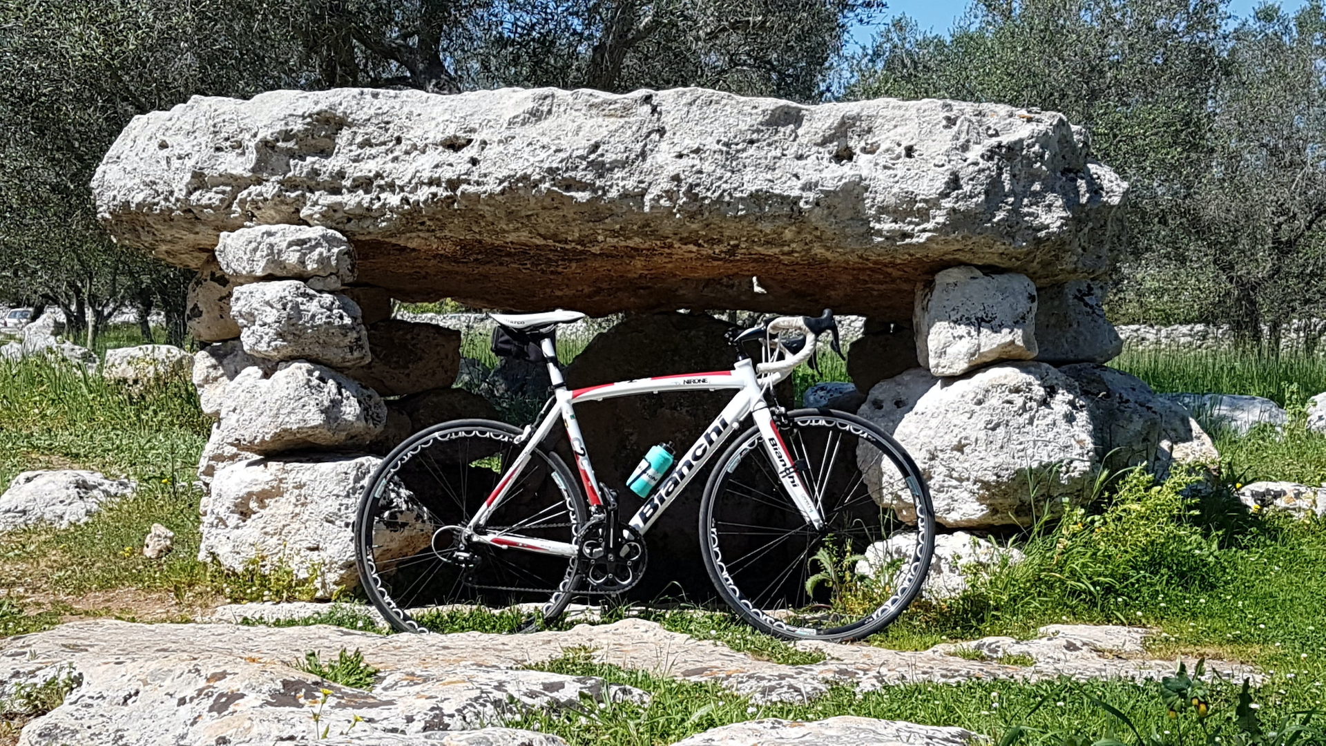
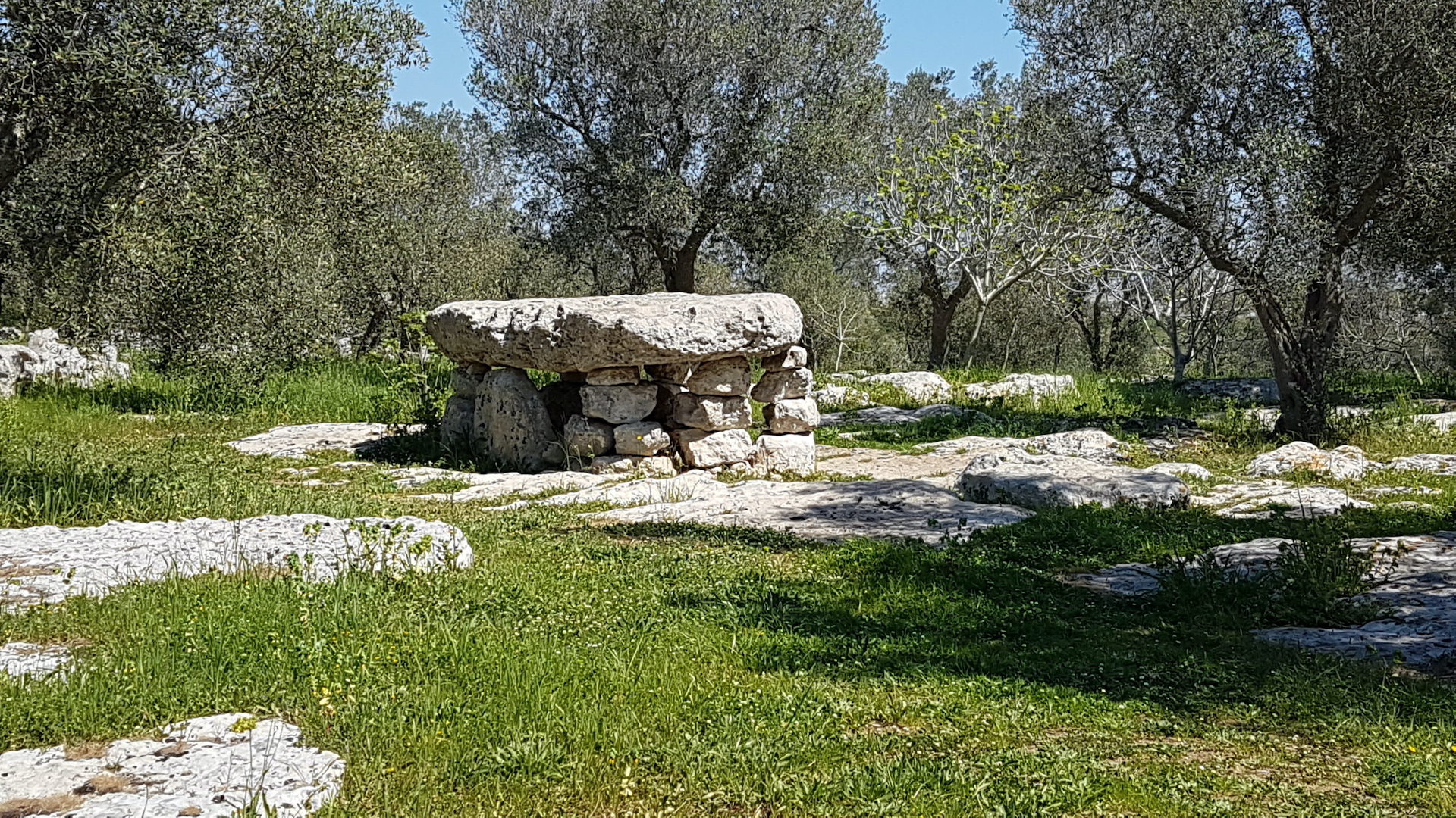
Leaving the town, after about one kilometre, cross Provincial Road 56, after having driven along it for two hundred metres, and you find yourself among the olive trees in the presence of one of the most beautiful monuments of the megalithic civilisation of Salento, the Dolmen Li Scusi (km 9.2), which tells of thousands of years of history and ancestral rites. At the end of the nineteenth century, the "discovery" of this megalithic monument (surveyed in 1867) triggered the search for these original testimonies to past civilisations. There is an abundance of them right here in the Otranto hinterland, to the point that this is considered the largest megalithic garden in Italy.
We continue along minor roads until we come to the village of Minervino di Lecce, a small town in the Otranto hinterland, and immediately reach the historic centre (11.1 km), where we are greeted by a lovely rectangular square overlooked by the Chiesa Madre di San Michele Arcangelo, whose façade, however, is oriented in a different direction with its precious Baroque rose window whose carvings recall that of the Basilica di Santa Croce in Lecce.
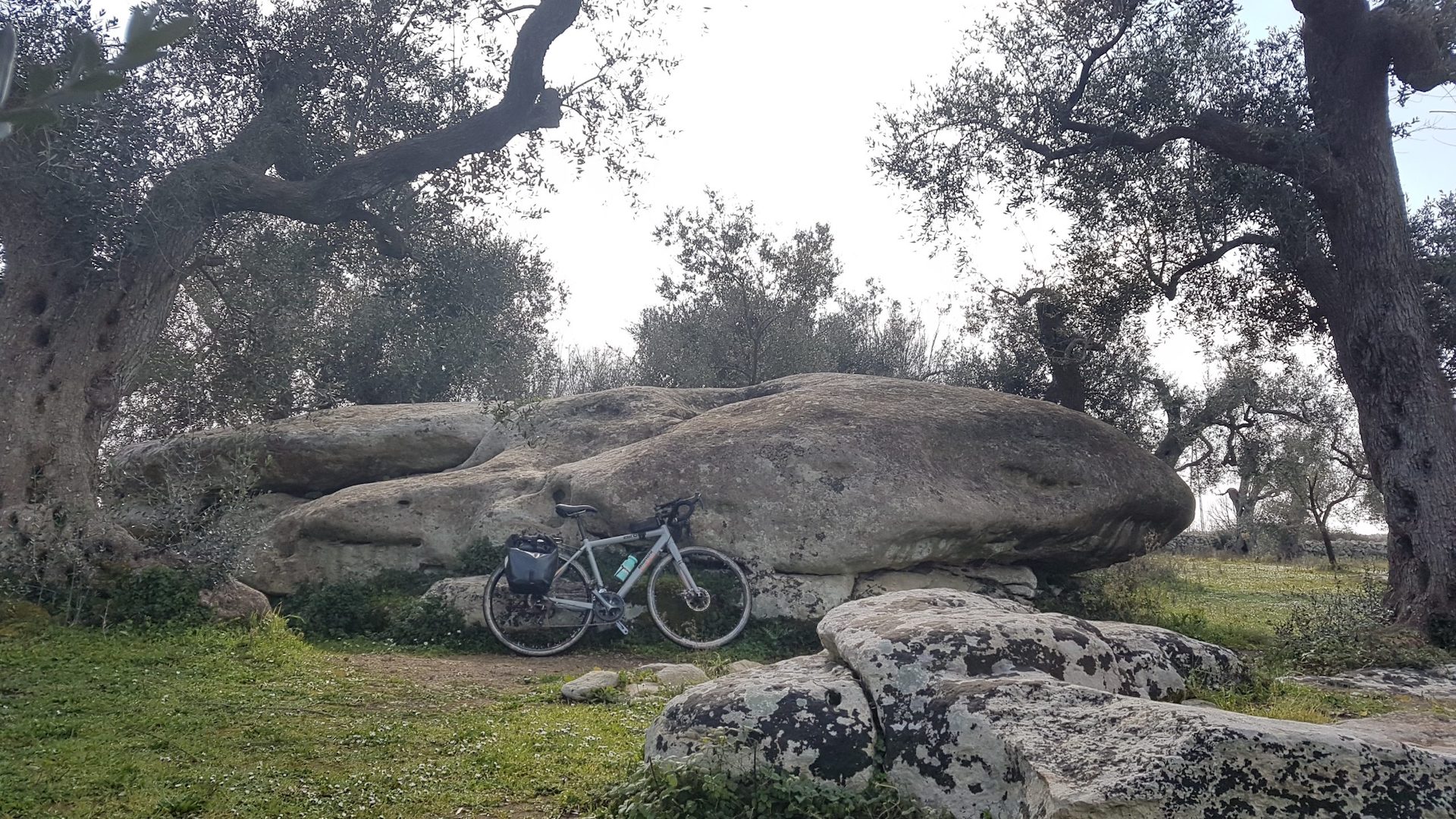
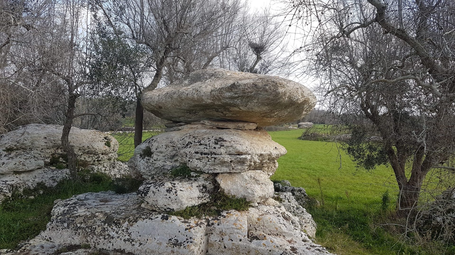
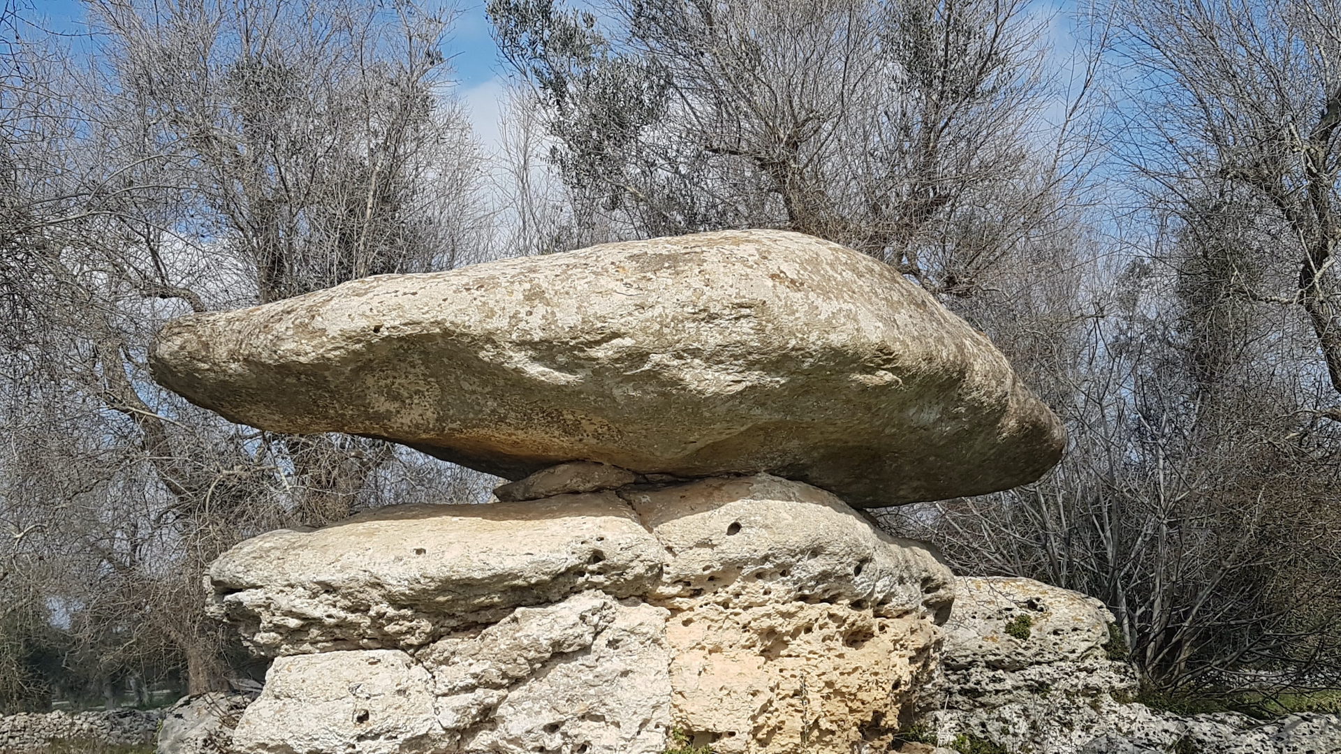
Leave the village by the road for Giuggianello, following it for a few hundred metres after the roundabout, then turn right and take a secondary road bordered by dry stone walls that cuts through the countryside. After turning right, you start pedalling through olive groves that soon turn into monumental olive trees (14.5 km), now struggling with the scourge of Xylella. Another two kilometres and a very short diversions to the right opens the door to one of the most enigmatic magical places in the Salento: the Massi della Vecchia (16.5 km), original rocks of great size and strange shapes that have inspired the most imaginative legends. One such legend has it that this is the kingdom of a witch, the Vecchia, who rewarded those who gave the right answer to her questions with a hen with seven golden chicks, but punished those who made a mistake by turning them into rocks. Thus, within a radius of a few dozen metres, one after the other, we find Lu Lettu te la Vecchia (the bed of the old woman), Lu Furticiddhu te la Vecchia (the flywheel of the old woman's spindle) and the Piede d'Ercole (foot of Hercules), all large calcarenite formations from the Miocene epoch, which rain and wind have bizarrely modelled over time.
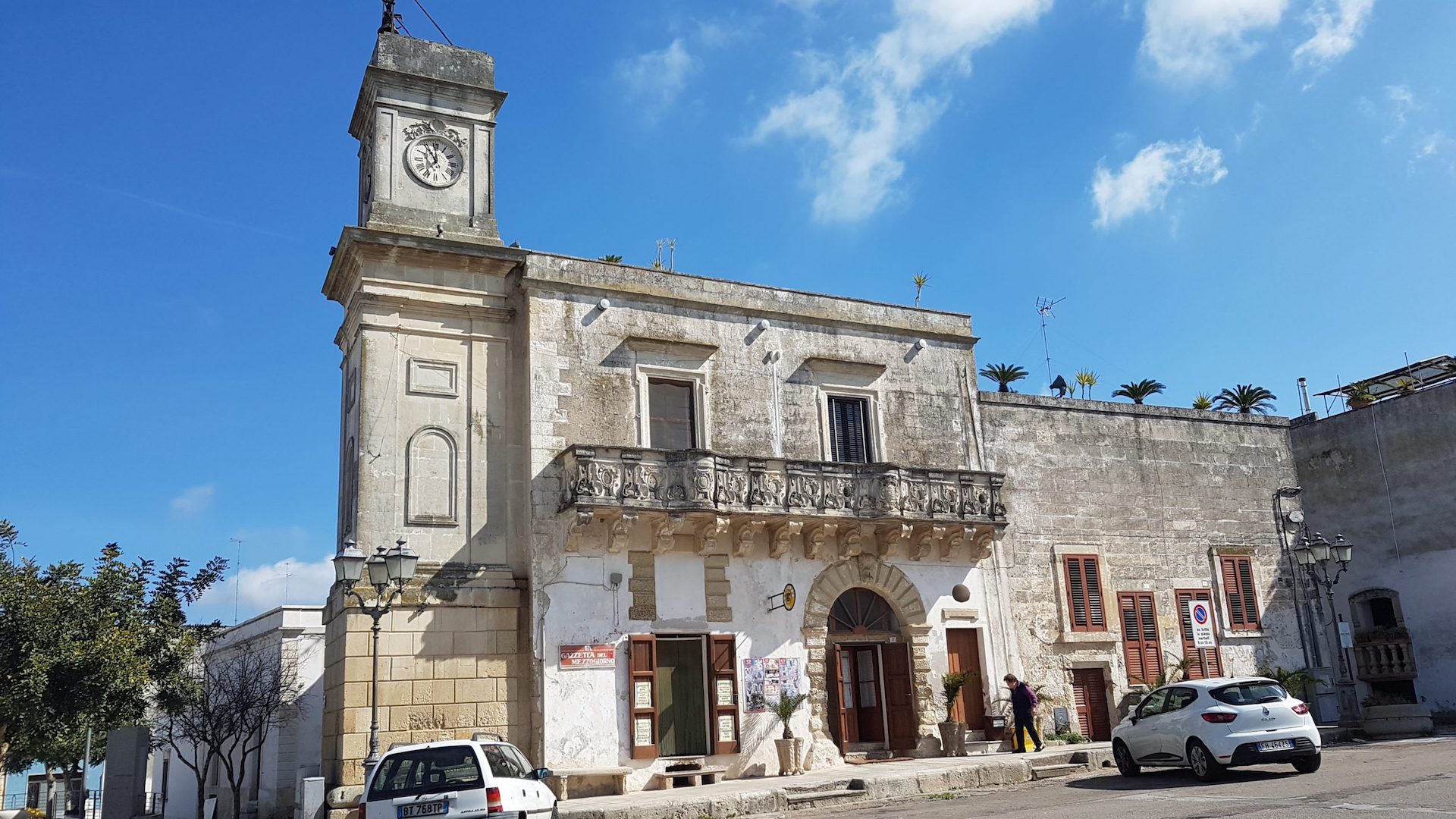
Turn back for a very short distance and continue cycling through the countryside among the olive trees for about three kilometres until you enter the town and reach the historic centre of Palmariggi (20.3 km). It is the castle, or rather what remains of it, that greets the cyclist in the large square: the mighty tower is just one example of the great manor that the Aragonese built here and which today stands alongside the historic Palazzo Vernazza, today the seat of the small municipality (the community has less than 1,500 inhabitants).
Another three kilometres along minor roads open the door to another small town, Bagnolo del Salento (km 24), with its historic centre dominated by Lecce stone. In the large square dominated by the Church of San Giorgio and the imposing Palazzo Papaleo, there is also room for a small fountain of the Apulian Aqueduct, which is a good place to refuel and continue the journey.
We leave Bagnolo by taking a rural road that in a couple of kilometres opens the door to Cannole (km 27.1), another small town with 1,700 inhabitants. This is the home of the 'municeddhe', or snails, which are 'cultivated' here and cooked with great gusto. Since 1985, a large popular festival has celebrated the 'escargot del Salento' for four days on the eve of Ferragosto. In the square stands the Granafei Castle with its austere rusticated portal, built by the Orsini del Balzo family in 1413 but extensively remodelled in the 18th century. In the square, right by the fountain that dispenses water from the Pugliese Aqueduct, turn left into Via Madonna, following the tourist signs for Torcito.
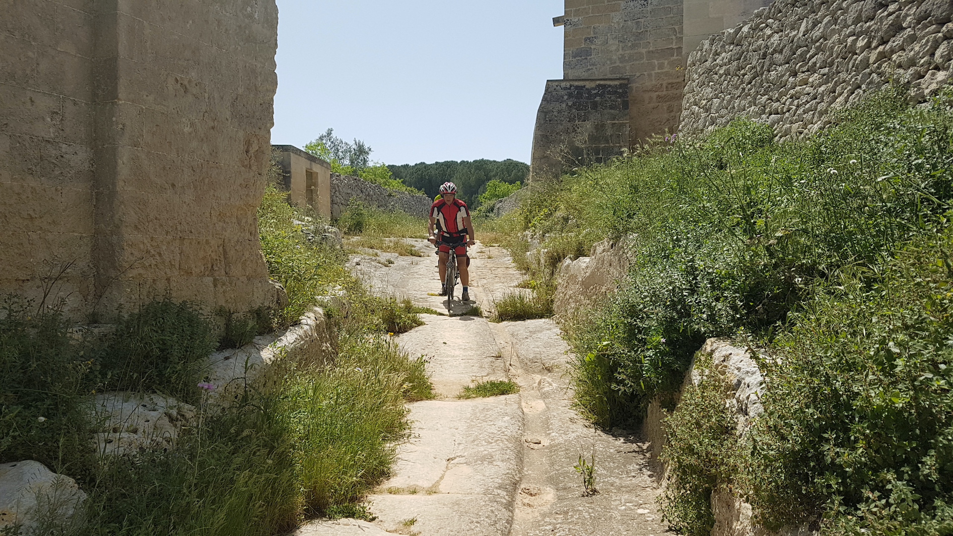
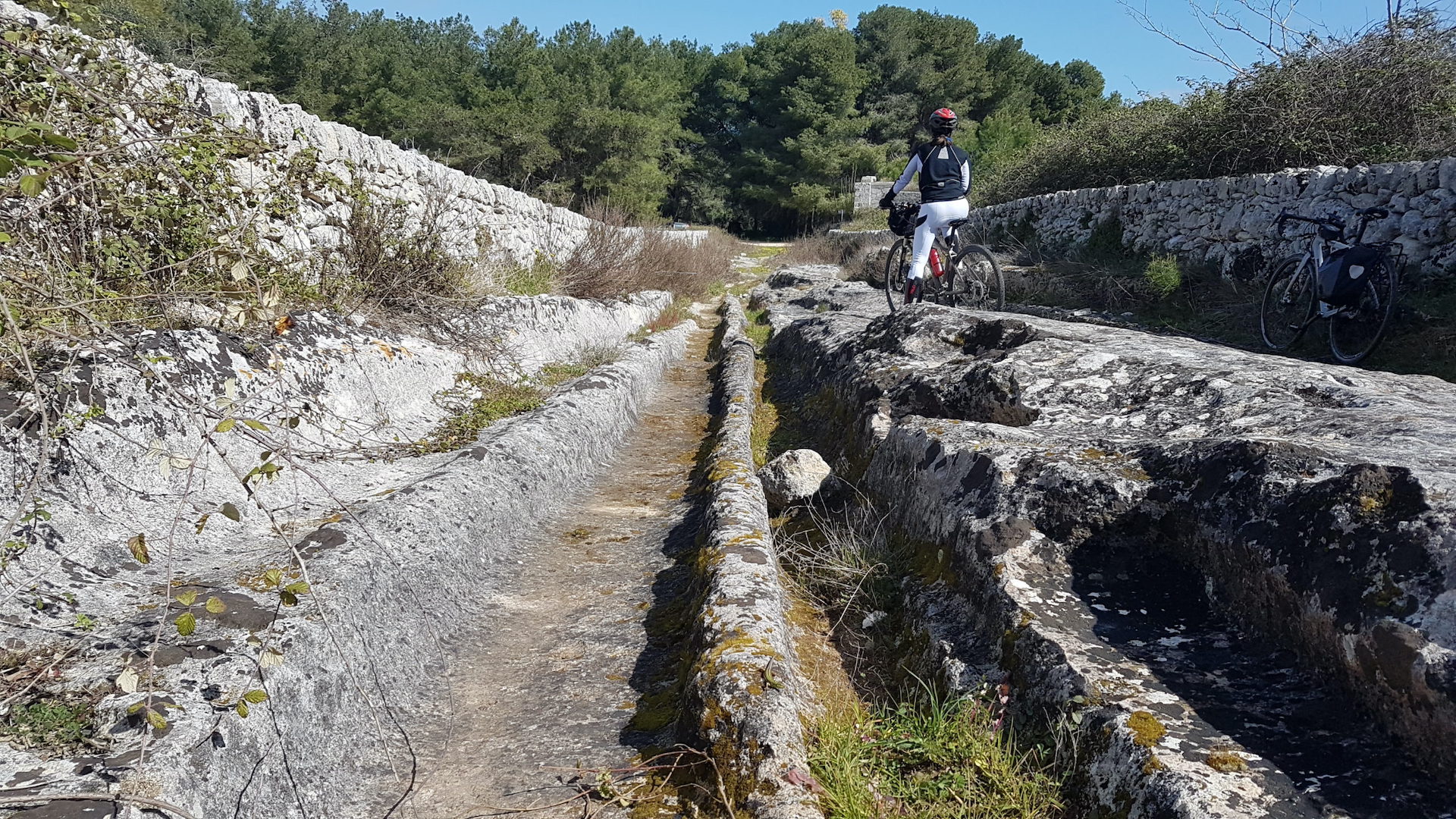
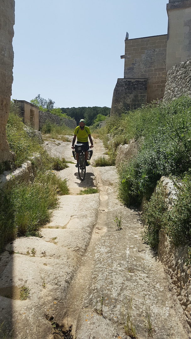
A few pedalings in the suburbs and we enter Torcito Park, where the road becomes a dirt road again. The central part of Masseria Torcito (km 28.6) is announced by the beginning of a cart road dug into the rock, where the deep furrows that over the centuries have traced the wheels of carts are evident. This was in fact a crucial junction of the Salento routes, with the Via Traiano Calabra leading to Otranto. But human traffic and frequentation here was much more ancient, as evidenced by the oval pits next to the road itself, an unmistakable sign of the presence of a necropolis. The masseria dates back to the 12th century and is a very large complex that includes two chapels, a crypt, an underground oil mill, a dovecote tower, traces of Basilian settlements, neviere (granaries) and granaries. Renovated in 2002 by the Province of Lecce to make it a tourist attraction, the place has had to come to terms with the foolishness of those who see these places as no man's land rather than as a precious common good.
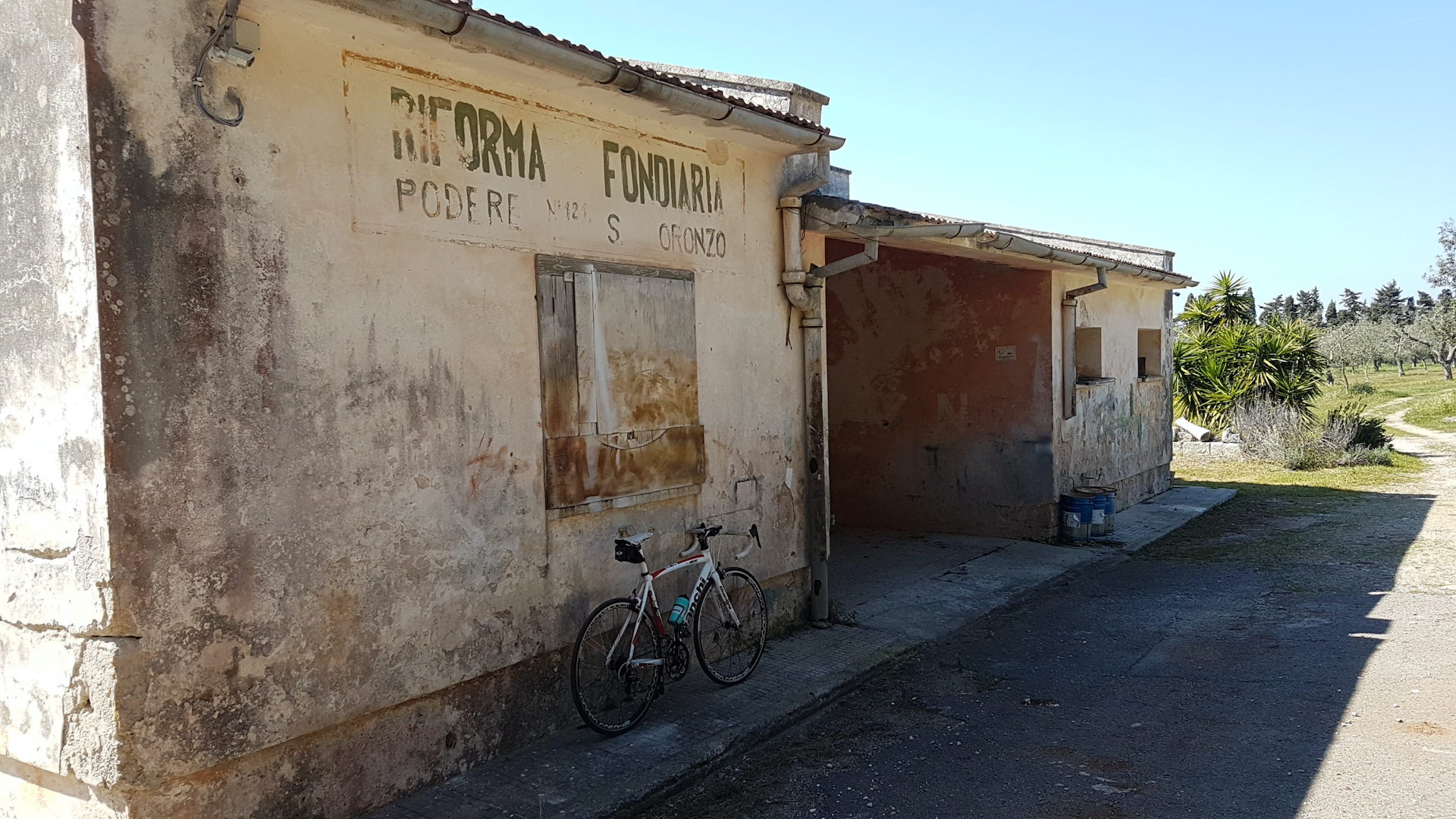
It is hard to pedal over live rock and deep ruts to get past the perimeter on which the farmhouse stands. Immediately after, you enter the large pine forest of the estate and cross it to come out on the Martano-Otranto provincial road, which you must cross with great care. We continue for a couple of kilometres on a small tarmac road cutting through the countryside among young olive trees and tidy fields, until, surprisingly, in the open countryside we come to the Church of Santa Marina di Stigliano (km 32.2), dedicated to the cult of the saint who, because of her beauty, is considered the protector of "beautiful complexion" (jaundice sufferers turn to her). And it is of course a Byzantine Saint Marina that stands out in the niche of the high altar. But if the church is striking for its isolation, you only have to look to the left to see the remains of the old farmhouse, practically encompassed in the wild vegetation: here was a village that was abandoned, perhaps because it was devastated by pirates from the sea. And among the ruins there is also a crypt, difficult to identify.
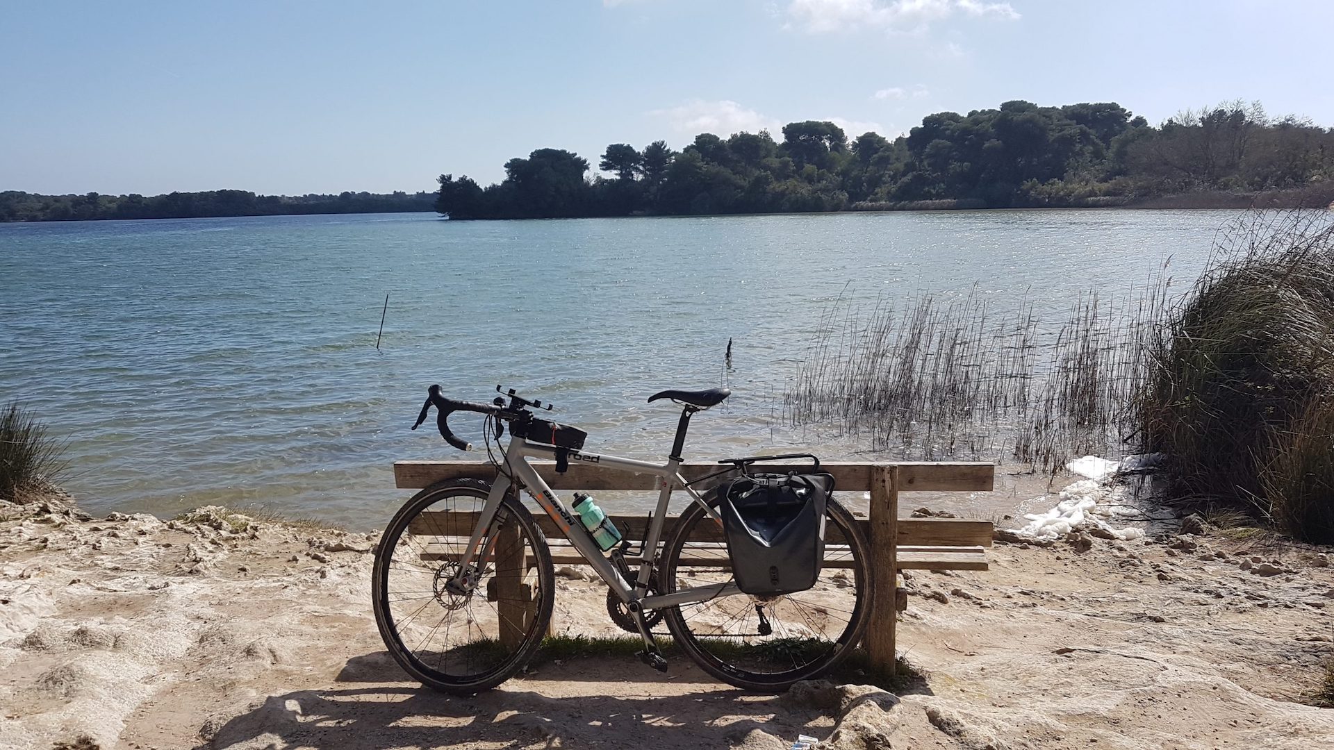
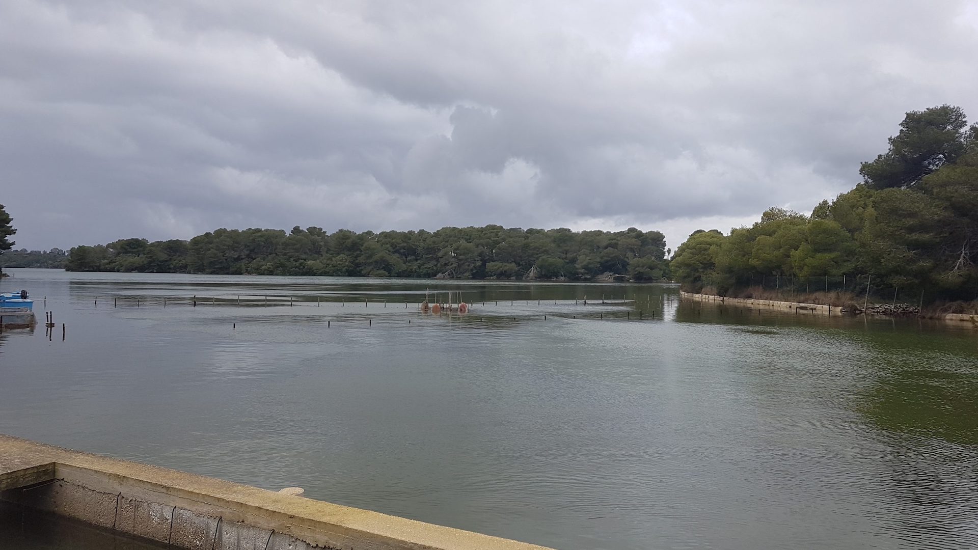
Leaving the suggestions of history behind, we continue behind the church, entering a beautiful and extensive pine forest, along a dirt road that crosses the whole of the church and continues for more than two kilometres, until we return to an asphalt road. Another two kilometres and you come out on Provincial Road 342, which you follow for almost two kilometres. It is time to turn left, following the tourist arrow indicating "lago" (lake), along a small road that soon becomes a dirt track. The lake on the sign is one of the two Alimini lakes, always referred to in the plural because they are so close and linked by a canal, "Lu Strittu". The first, Alimini Grande, is almost two and a half kilometres long, while the second, Alimini Piccolo or Fontanelle, is a little less extensive. Both are generated by the old marshes, but while Alimini Grande has brackish water closer to that of the sea, with which it communicates, in the Fontanelle lake freshwater springs prevail. Pedal through the pine forest that forms a green frame for the lakes until you come to a panoramic point (km 40.4) where a simple bench on the lake shore adds a touch of romance to the natural setting.
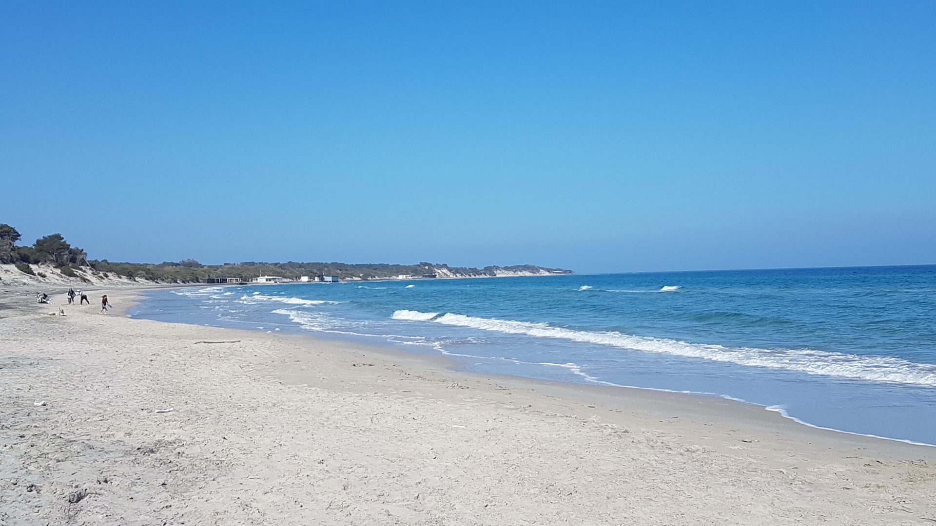
Turn back and ride along the beautiful pine forest that provides a green frame for the two lakes, pedalling just a few metres from the placid body of water until you return to an asphalt road. At this point the direction is towards the sea: take the coastal road and after a kilometre and a half the pine forest opens up and, just at the level of the canal connecting Alimini Grande to the sea, you will find Alimini beach (km 44.8). Here there is an opportunity for a healthy swim, in an area where the pine forest faces directly onto the sand, which forms imposing dunes.
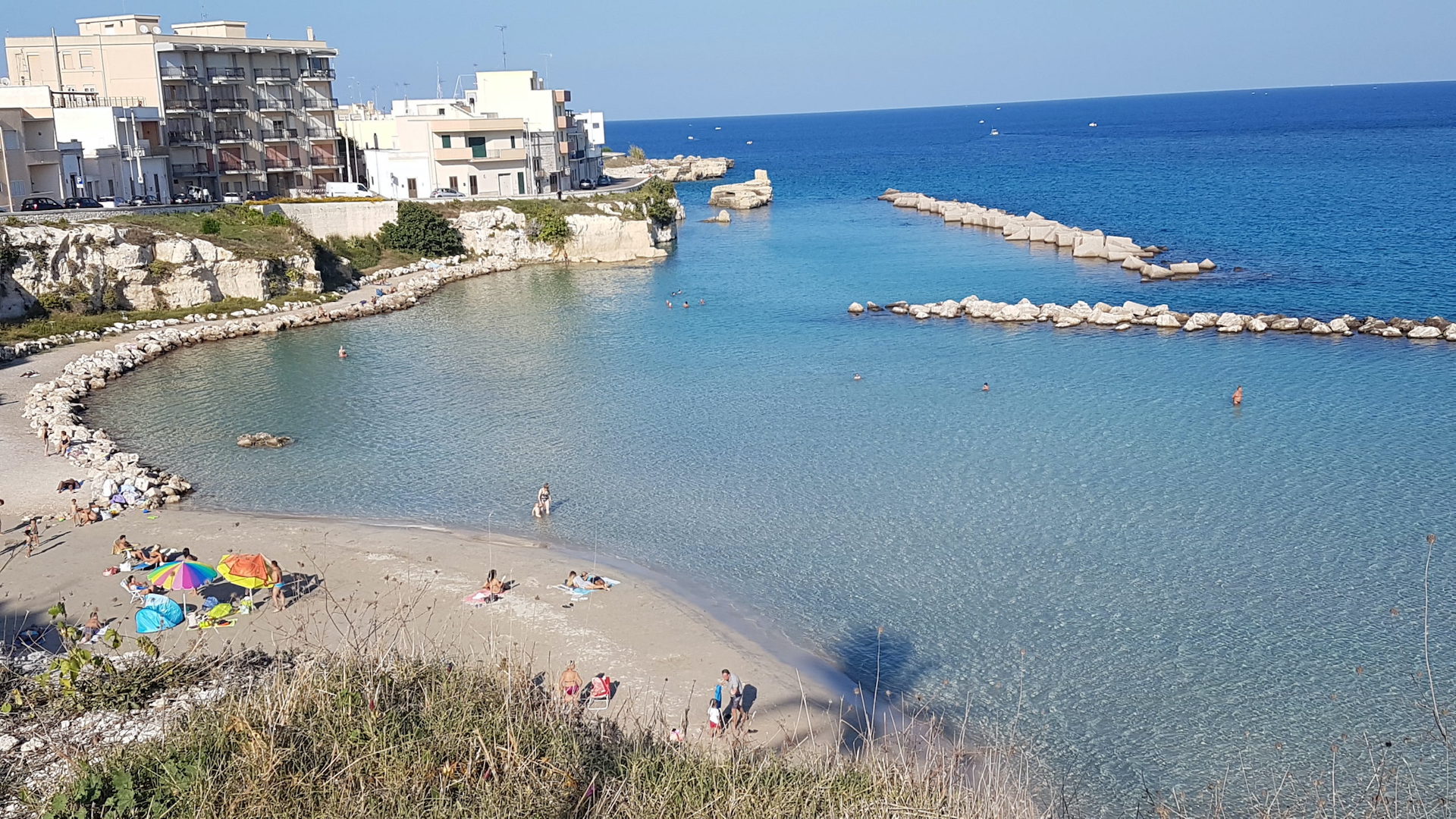
To get back on track, turn back onto the coast road and then right to take a network of minor roads which, crossing the same coast road again, leads to Otranto in just over seven kilometres of tarmac road. At the first roundabout, turn left to look out over the bay of Otranto: at the foot of the Cappella della Madonna dell'Altomare (km 53.6), the charm of the old village perched around the cathedral and castle can be seen from afar.
A very short hairpin bend takes you down to sea level and along the entire seafront, turning left to return to the starting point and find yourself in the presence of Porta Alfonsina (54.4 km). If you still want to go on, here is the old town of Otranto, which with its Cathedral (just a few hundred metres further on) recounts the epic story of the 800 martyrs.
54,4 km
Path length
Gallery

- Presence of handrails: No
- Presence of parking areas: Yes
- Frequency of parking areas: One area every 5 km
- Longitudinal and transverse slope: Max 8,8%; Min -7,6%
- Nature of the paving of the path: Asphalt
