THE VIA JONICA BETWEEN MURGE TARANTINE AND FINIS TERRAE
By bike:
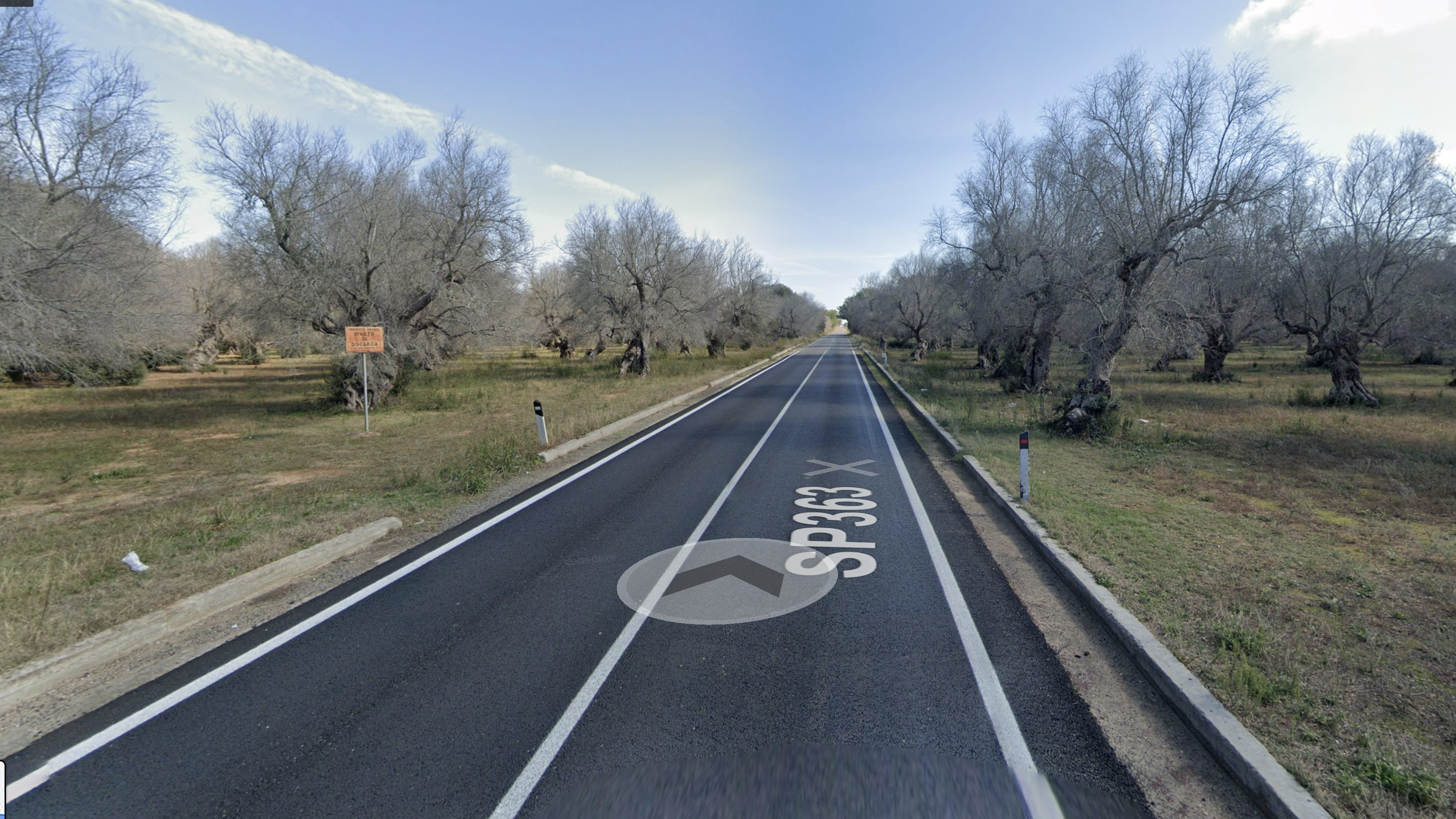
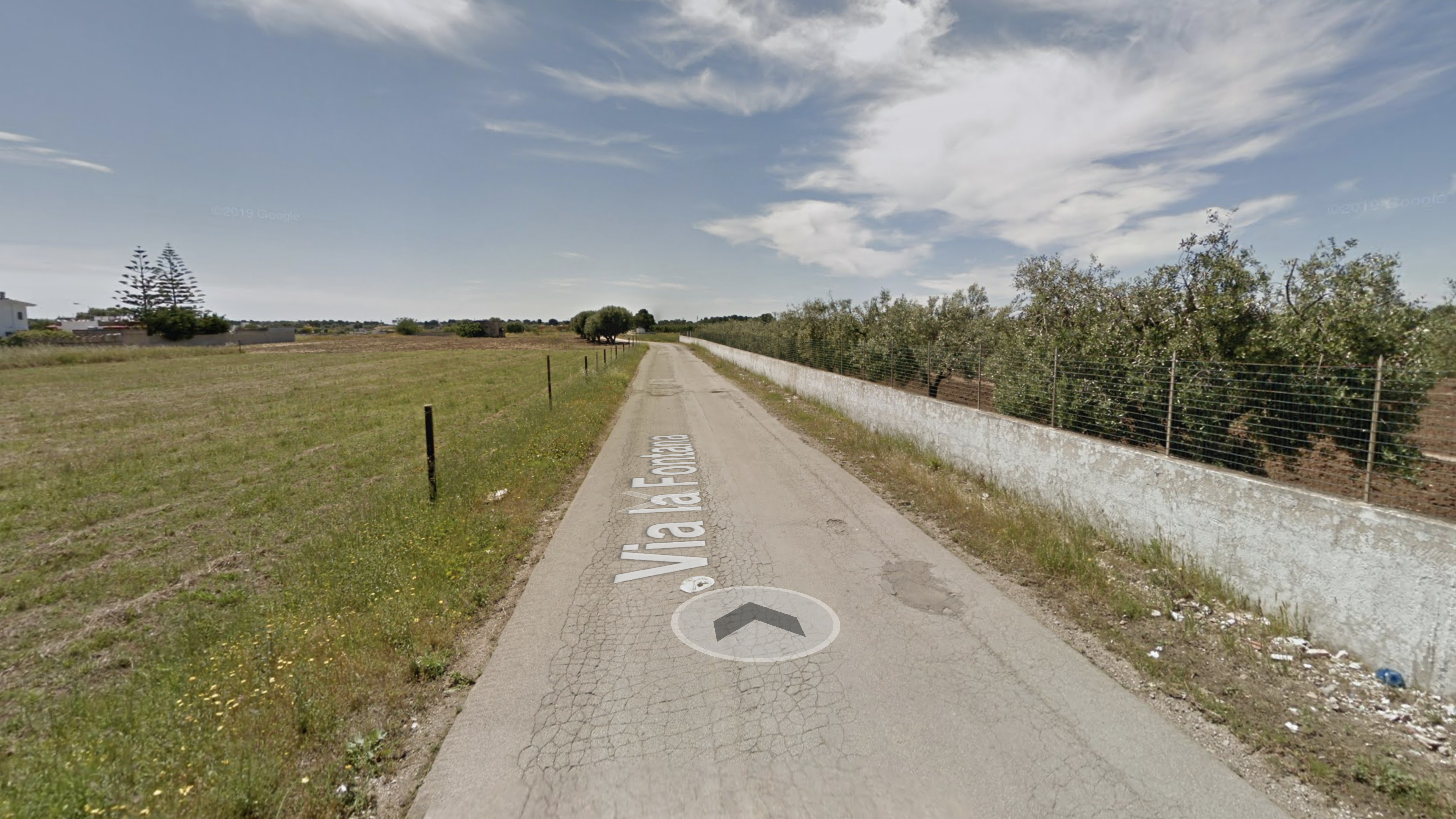
The route follows the foreseen "Tre Mari" Cycle Path (RPO6) of the Regional Network and is significant from a landscape point of view, although it runs along a provincial road (sp363)
It has no handrails
Path length: 8,3 km
Path width: variable from 4m and 7m
It has no parking areas
Longitudinal slope: 12m
Path pavement type: paved road
Pedestrian:
It has no handrails
Path length: 10,4km
Path width: variable from 2m and 6m
It has no parking areas
Longitudinal slope: 8m
Path pavement type: dirt and paved road
Public transport:
he main extra-urban public transport lines for the two planned itineraries are managed by STP and FSE agencies:
- Line 341 (round trip) to Maglie
- Line 52 (round trip) to Galatina
- Bus FSE to Maglie (FSE Line)
Practicability: by bus
It has no parking areas
By bike:
Il percorso evidenziato in blu segue la prevista Ciclovia dei Tre Mari (RPO6) della Rete Regionale ed è per una buona parte su una pista ciclabile esclusiva.
It has no handrails
Path length: 20,01 km
Path width: variable from 2m and 7m
It has no parking areas
Longitudinal slope: 96m
Cross slope: not detected
Path pavement type: paved road
Pedestrian:
It has no handrails
Path length: 20,6km
Path width: variable from 2m and 6m
It has no parking areas
Longitudinal slope: 92m
Cross slope: not detected
Path pavement type: paved road
Public transport:
he main extra-urban public transport lines for the two planned itineraries are managed by STP and FSE agencies:
- Line 94 (round trip) to Otranto
- Line 86 (round trip) to Galatina
- Line 52 (round trip) to Galatina
- Line 341 (round trip) to Cutrofiano
- Bus Otranto to Otranto (FSE Line)
It has no handrails
Practicability: by bus
It has no parking areas
Route: Marina di Lizzano - Maruggio
By bike:
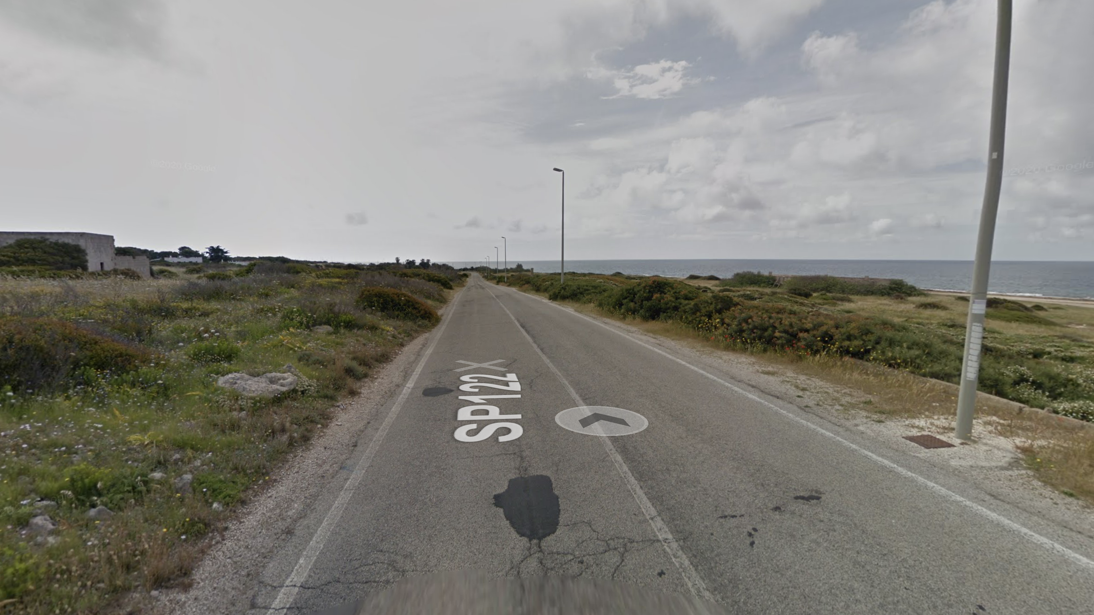
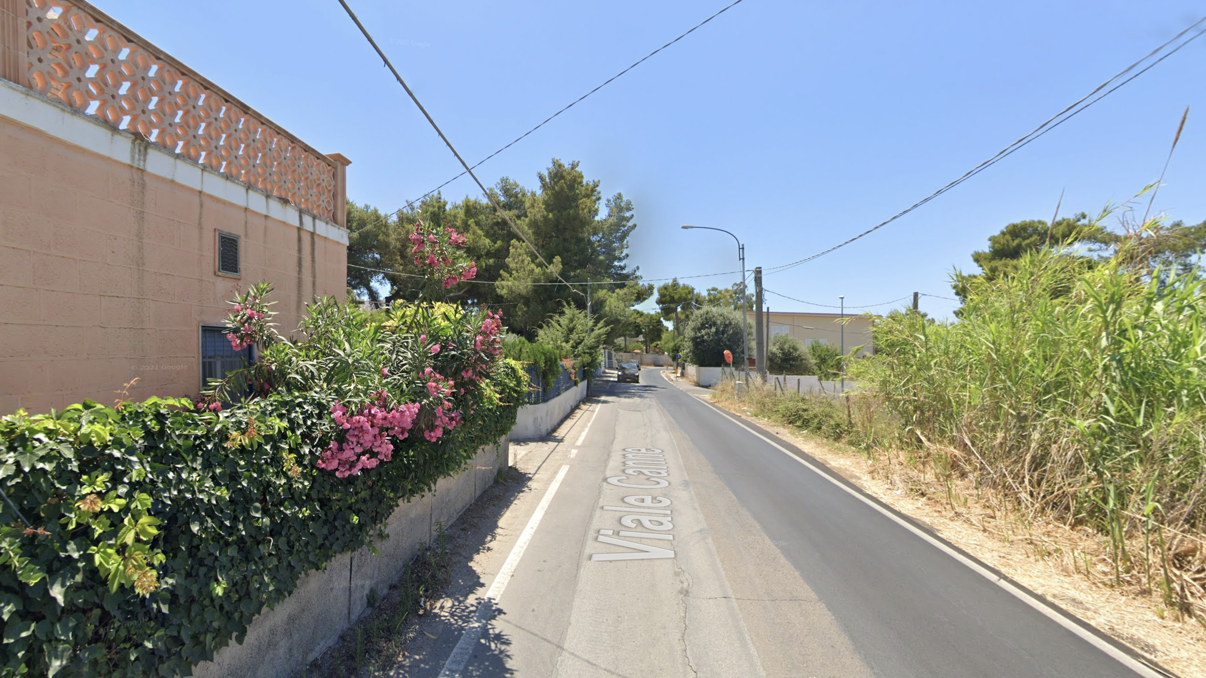
The route follows the "Tre Mari" Cycle Path (RPO6) of the Regional Network and is significant from a landscape point of view, although it runs along a provincial road (SP122) which is busy only in the summer.
It has no handrails
Path length: 15,2 km
Path width: variable from 6m and 9m
It has no parking areas
Longitudinal slope: 28m
Cross slope: not detected
Path pavement type: paved road
Pedestrian:
It has no handrails
Path length: 11,1km
Path width: variable from 3m and 6m
It has no parking areas
Longitudinal slope: 28mt - mostly flat
Cross slope: not detected
Path pavement type: paved road e dirt road
Public transport:
The main extra-urban public transport lines for the two planned itineraries are managed by CTP agency:
- Line 295 (round trip): Maruggio - Campomarino - Librari - Marina Di Lizzano - Marina Di Taranto - Lido Silvana - Montedarena - Gandoli - Taranto.
It has no handrails
Practicability: by bus
It has no parking areas
Route: Maruggio - San Pietro in Bevagna
By bike:
The route follows the "Tre Mari" Cycle Path (RPO6) of the Regional Network and is significant from a landscape point of view, although it runs along a provincial road (SP122) which is busy only in the summer.
It has no handrails
Path length: 12,8 km
Path width: variable from 6m and 9m
It has no parking areas
Longitudinal slope: 27m
Cross slope: not detected
Path pavement type: paved road
Pedestrian:
It has no handrails
Path length: 9,8km
Path width: variable from 3m and 6m
It has no parking areas
Longitudinal slope: 27m-mostly flat
Cross slope: not detected
Path pavement type: paved road e dirt road
Public transport:
The main extra-urban public transport lines for the two planned itineraries are managed by CTP agency:
- Line 216 (round trip): Francavilla Fontana - Oria - Manduria - Maruggio - Campomarino - San Pietro In Bevagna.
- Line 215 (round trip): Latiano - Oria - Uggiano Montefusco - Manduria - Maruggio - Campomarino - San Pietro In Bevagna.
It has no handrails
Practicability: by bus
It has no parking areas
By bike:
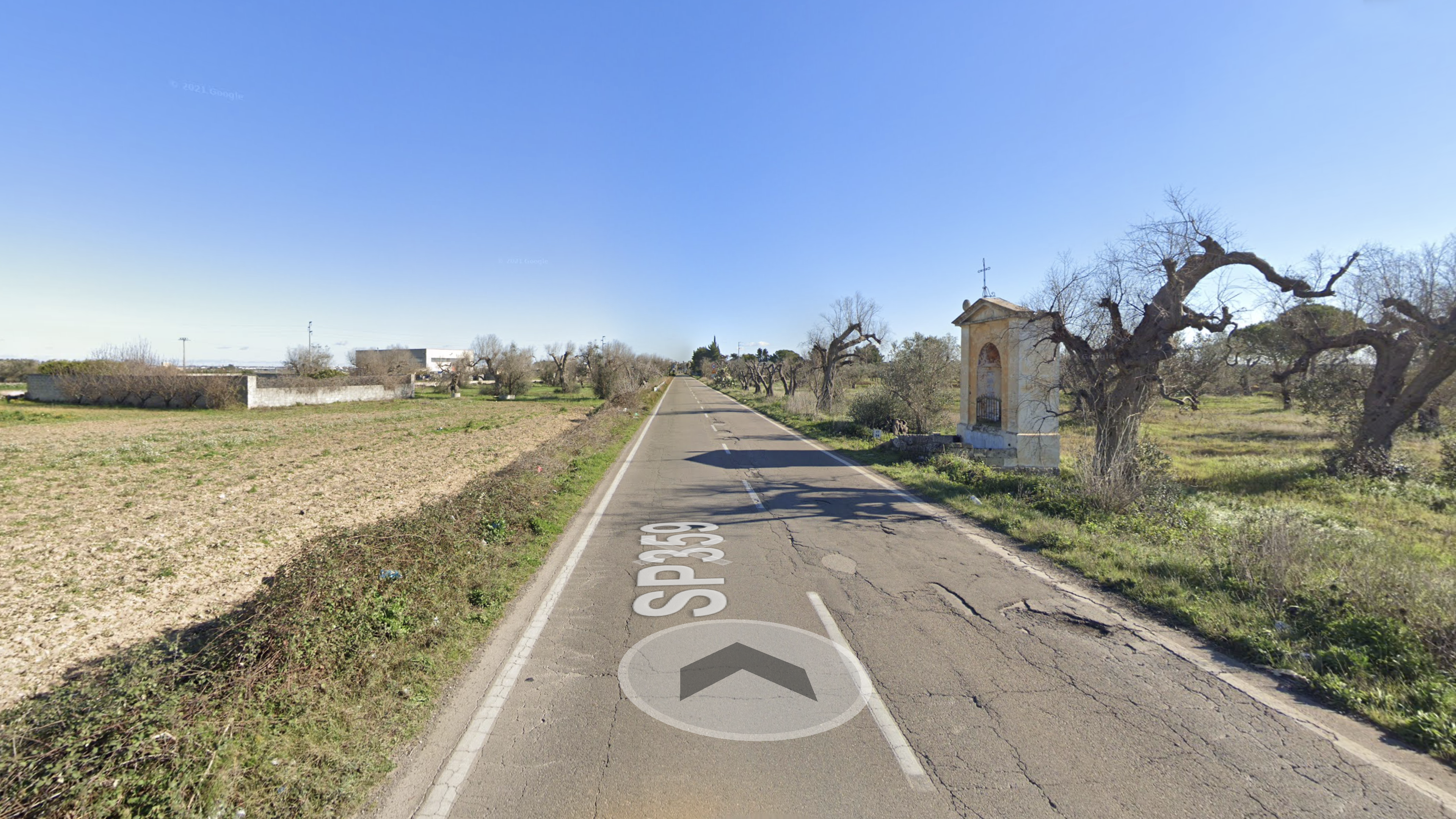
The route follows the foreseen APQ Cycle Path (RPO3) of the Regional Network and is significant from a landscape point of view, although it runs along a provincial road (sp359-363).
It has no handrails
Path length: 18,8 km
Path width: variable from 2m and 9m
It has no parking areas
Longitudinal slope: 50
Cross slope: not detected
Path pavement type: paved road
Pedestrian:
It has no handrails
Path length: 18,4km
Path width: variable from 3m and 7m
It has no parking areas
Longitudinal slope: 27m-mostly flat
Cross slope: not detected
Path pavement type: paved road e dirt road
Public transport:
There is no direct connection between the two locations.
It has no handrails
Practicability: by bus
It has no parking areas
By bike:
The route highlighted in blue follows the foreseen APQ Cycle Route (RPO3) of the Regional Network and is significant significant from a landscape point of view, although it runs along a provincial road (sp359).
It has no handrails
Path length: 16,7 km
Path width: variable from 6m and 9m
It has no parking areas
Longitudinal slope: 38m
Cross slope: not detected
Path pavement type: paved road
Pedestrian:
It has no handrails
Path length: 16,2km
Path width: variable from 3m and 9m
It has no parking areas
Longitudinal slope: 35m
Cross slope: not detected
Path pavement type: paved road
Public transport:
The main line of extra-urban public transport connecting the two locations on the itinerary is Line 289 (round trip) managed by the COTRAP consortium.
It has no handrails
Practicability: by bus
It has no parking areas
Route: Pulsano - Torre Castelluccia
By bike:
It has no handrails
Path length: 6,2 km
Path width: variable from 3m and 5m
It has no parking areas
Longitudinal slope: 23m mostly flat
Cross slope: not detected
Path pavement type: paved road
Pedestrian:
It has no handrails
Path length: 6km
Path width: variable from 3m and 5m
It has no parking areas
Longitudinal slope: 23m mostly flat
Cross slope: not detected
Path pavement type: paved road ma disconnessa in molti punti
Public transport:
The main extra-urban public transport line for the planned route is managed by CTP agency:
- Line 164 (round trip): Maruggio – Campomarino – Torricella – Librari – Lizzano – Faggiano – Lido Silvana – Pulsano – Leporano – Talsano – Taranto – Shipyards – Industrial Area.
It has no handrails
Practicability: by bus
It has no parking areas
Route: San Pietro in Bevagna - Porto Cesareo
By bike:
The route follows the "Tre Mari" Cycle Path (RPO6) of the Regional Network and is significant from a landscape point of view, although it runs along a provincial road (SP122) which is busy only in the summer.
It has no handrails
Path length: 21,3 km
Path width: variable from 6m and 9m
It has no parking areas
Longitudinal slope: 5m
Cross slope: not detected
Path pavement type: paved road
Pedestrian:
It has no handrails
Path length: 21,3 km
Path width: variable from 6m and 9m
It has no parking areas
Longitudinal slope: 5m
Cross slope: not detected
Path pavement type: paved road
Public transport:
There is no direct line between the two locations on the itinerary except passing through Manduria with the 903R bus (STP sud) and then changing with the FSE bus to Porto Cesareo and vice versa.
It has no handrails
Practicability: by bus
It has no parking areas
Route:Torre Castelluccia - Marina di Lizzano
By bike:
The route follows the "Tre Mari" Cycle Path (RPO6) of the Regional Network and is significant from a landscape point of view, although it runs along a provincial road (SP122) which is busy only in the summer.
It has no handrails
Path length: 6,2 km
Path width: variable from 3m and 5m
It has no parking areas
Longitudinal slope: 24m
Cross slope: not detected
Path pavement type: paved road
Pedestrian:
It has no handrails
Path length: 6,9 km
Path width: variable from 3m and 5m
It has no parking areas
Longitudinal slope: 24m - mostly flat
Cross slope: not detected
Path pavement type: paved road
Public transport:
The main extra-urban public transport line for the planned route is managed by CTP agency: Line 295 (round trip): Maruggio - Campomarino - Librari - Marina Di Lizzano - Marina Di Taranto - Lido Silvana - Montedarena - Gandoli - Taranto
It has no handrails
Practicability: by bus
It has no parking areas
Gallery
