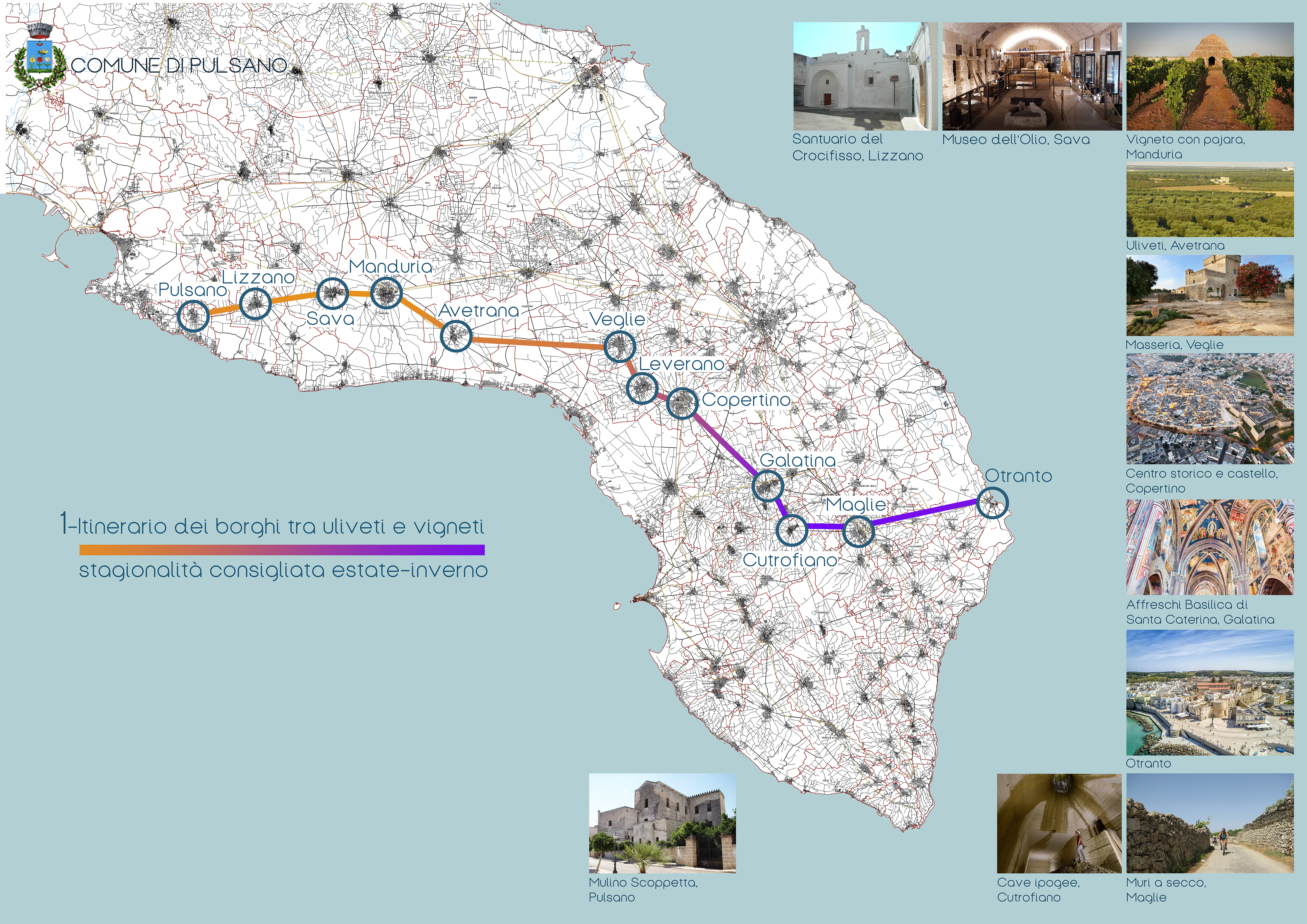
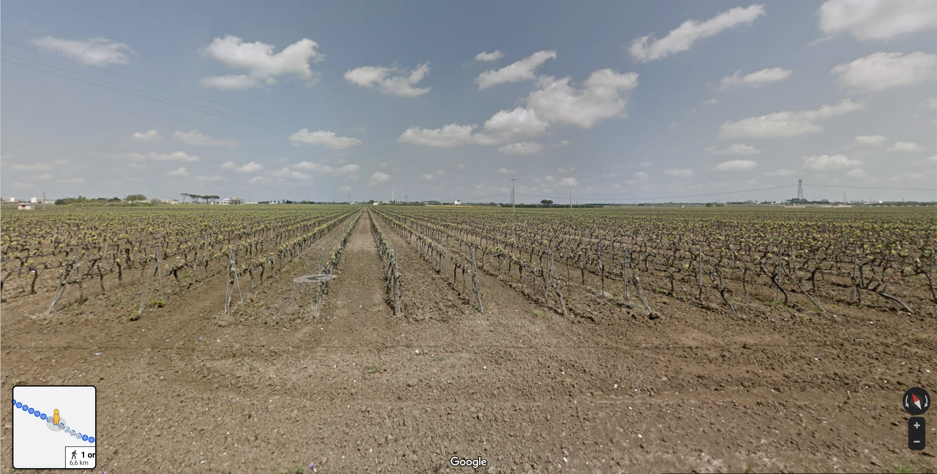
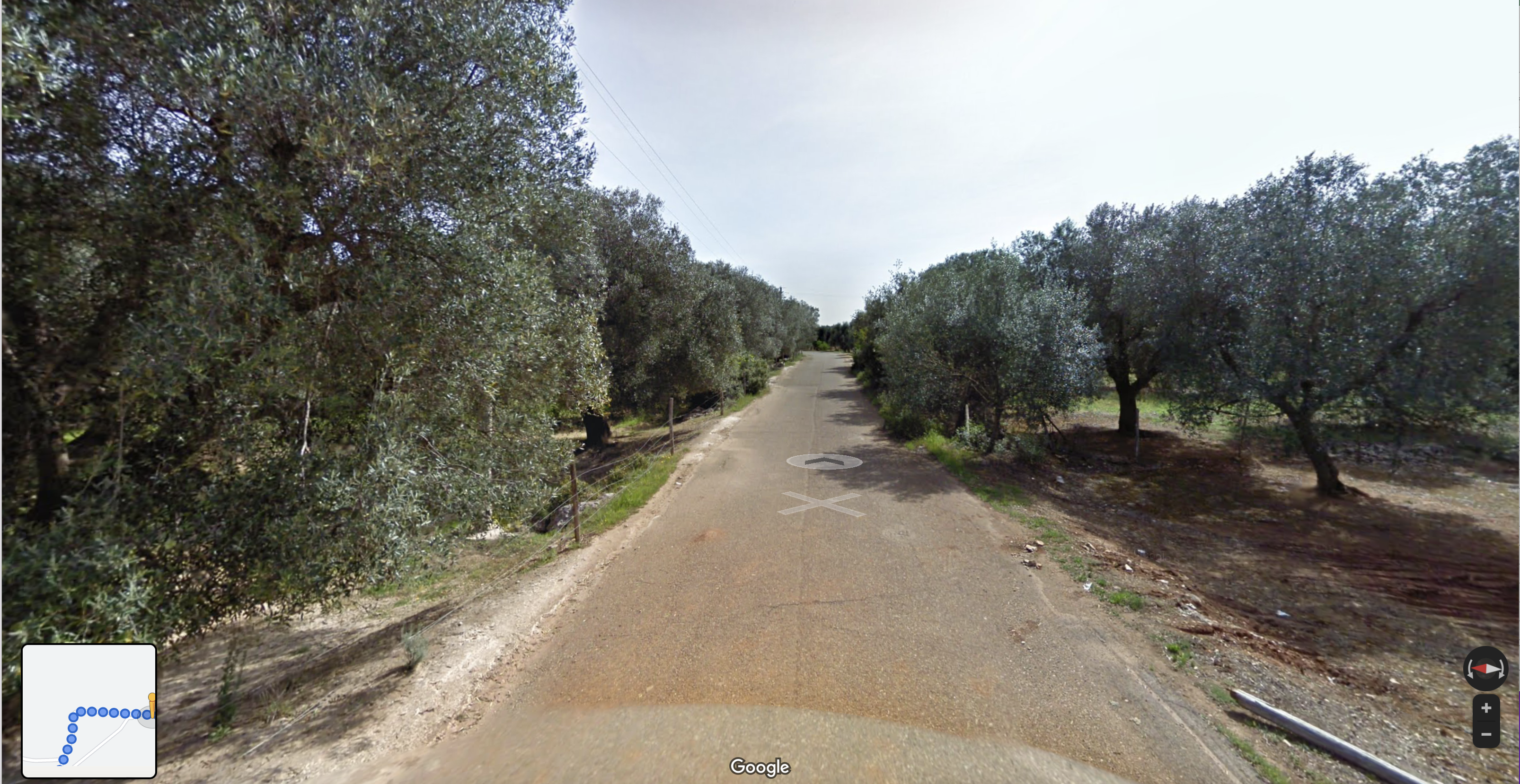
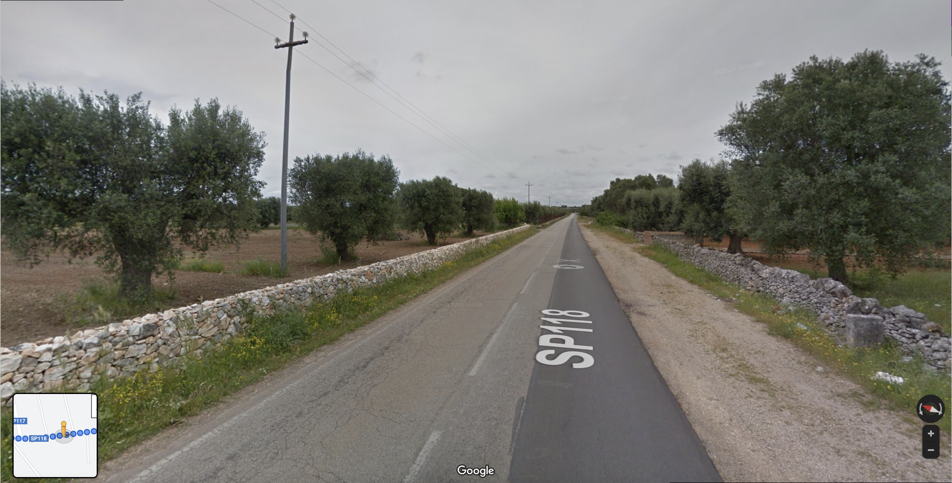
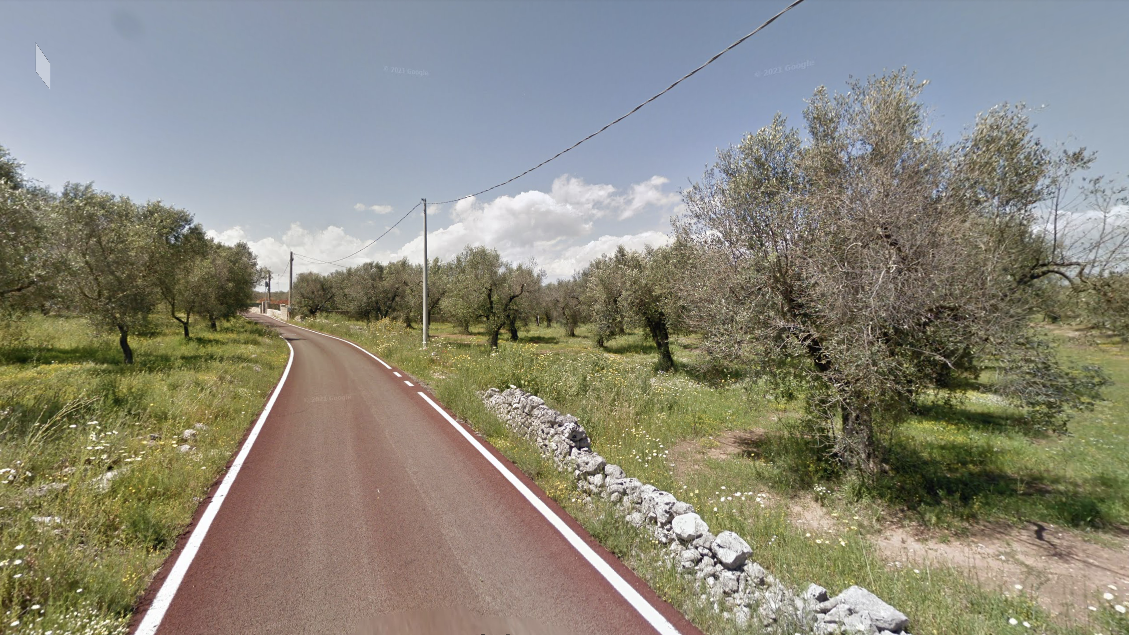
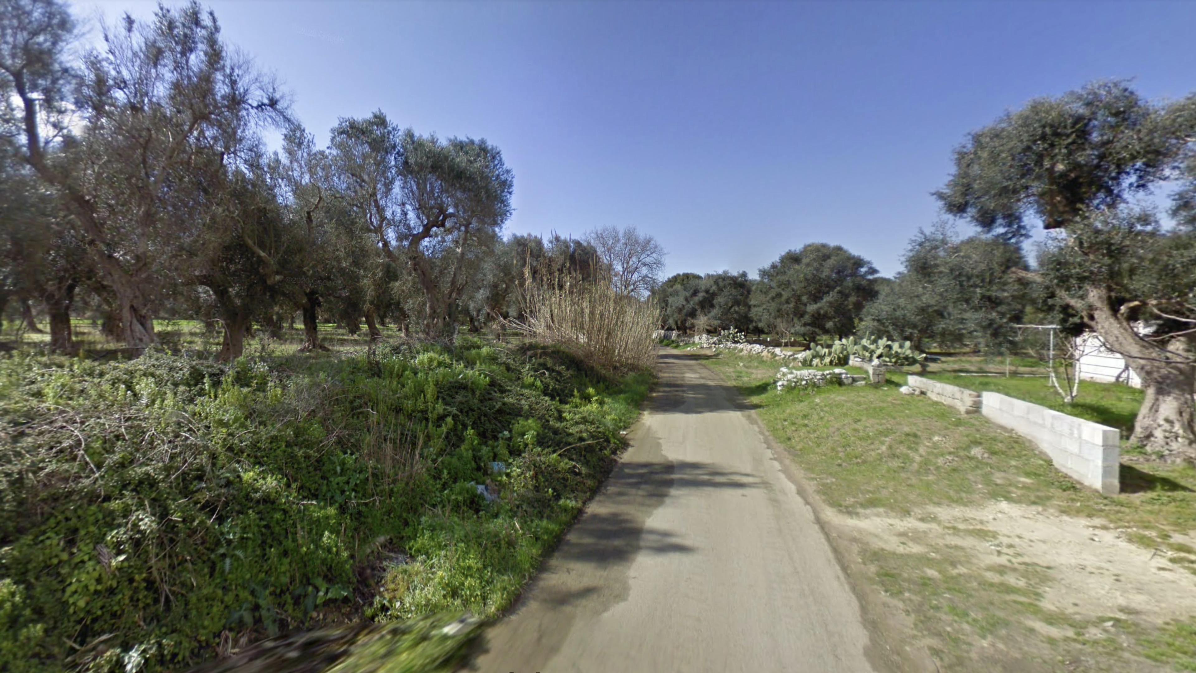
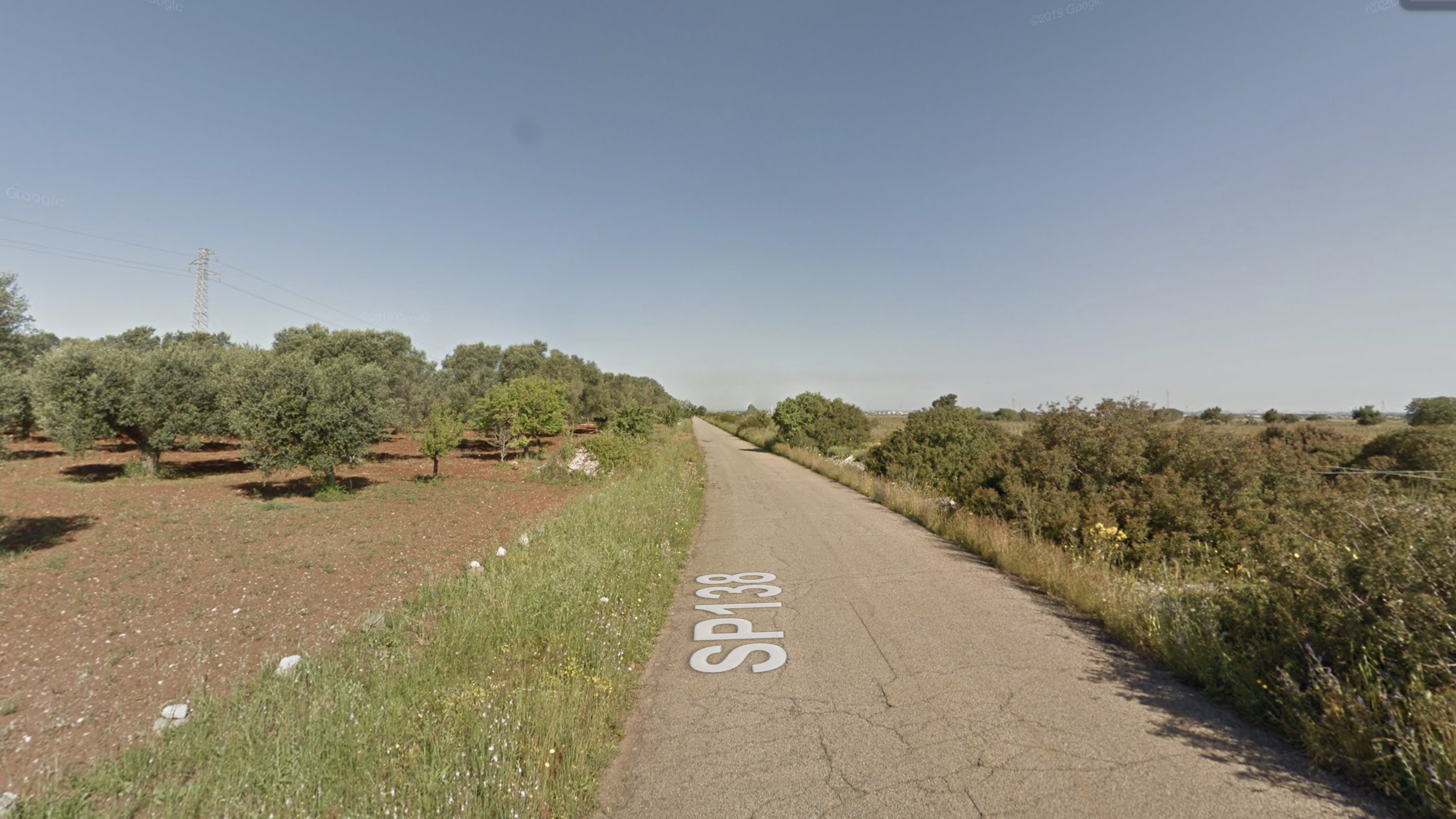
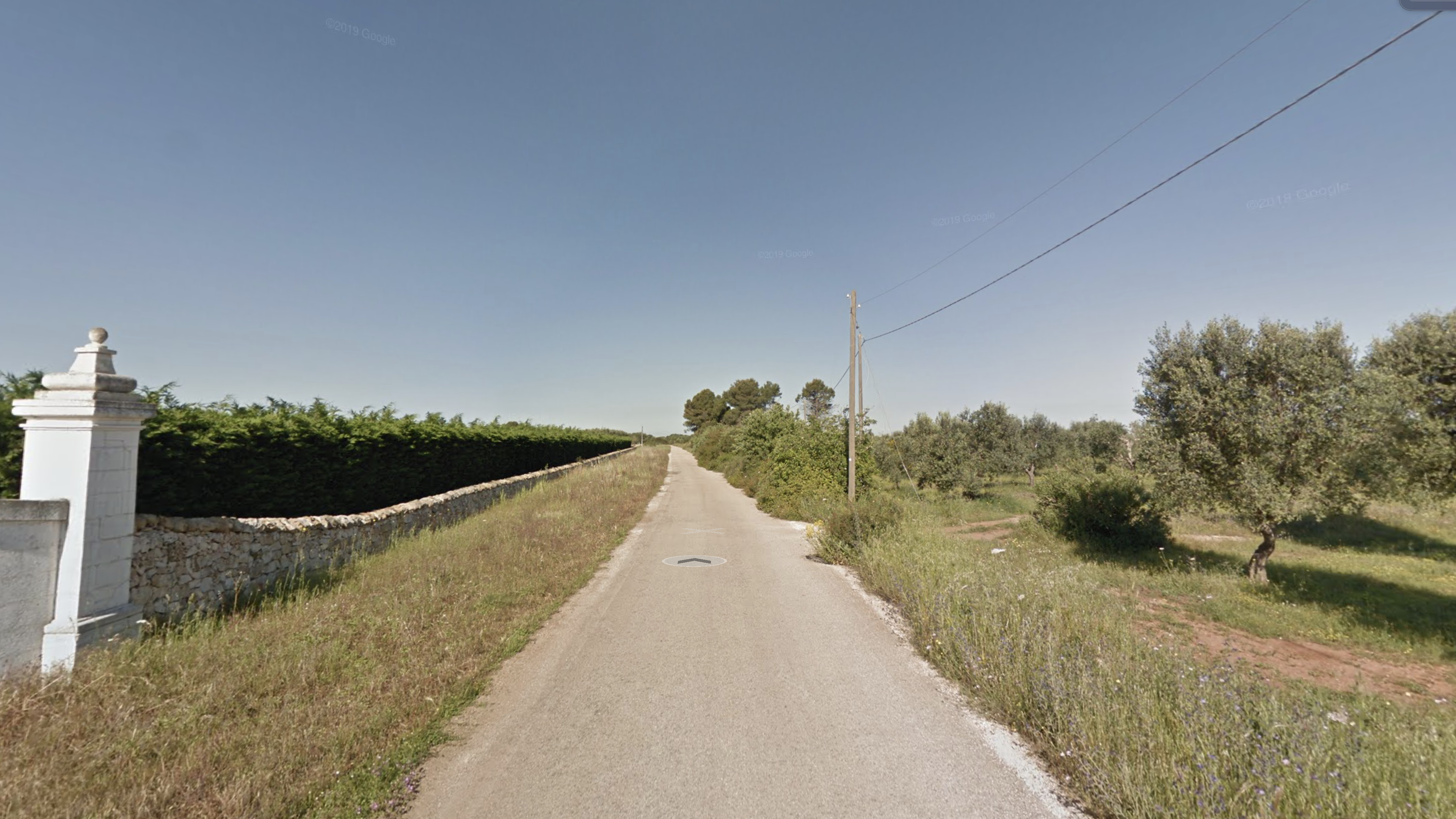
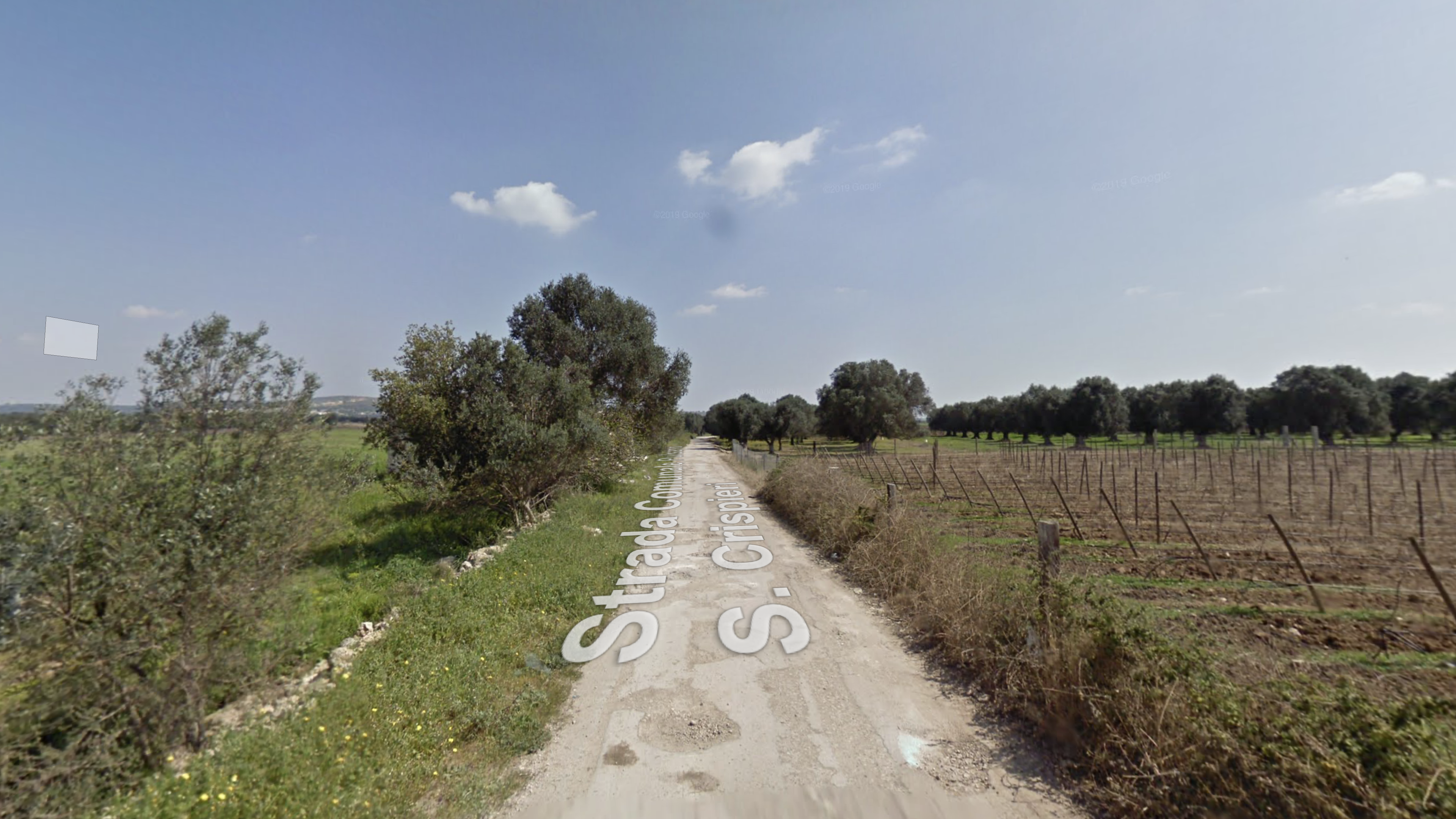
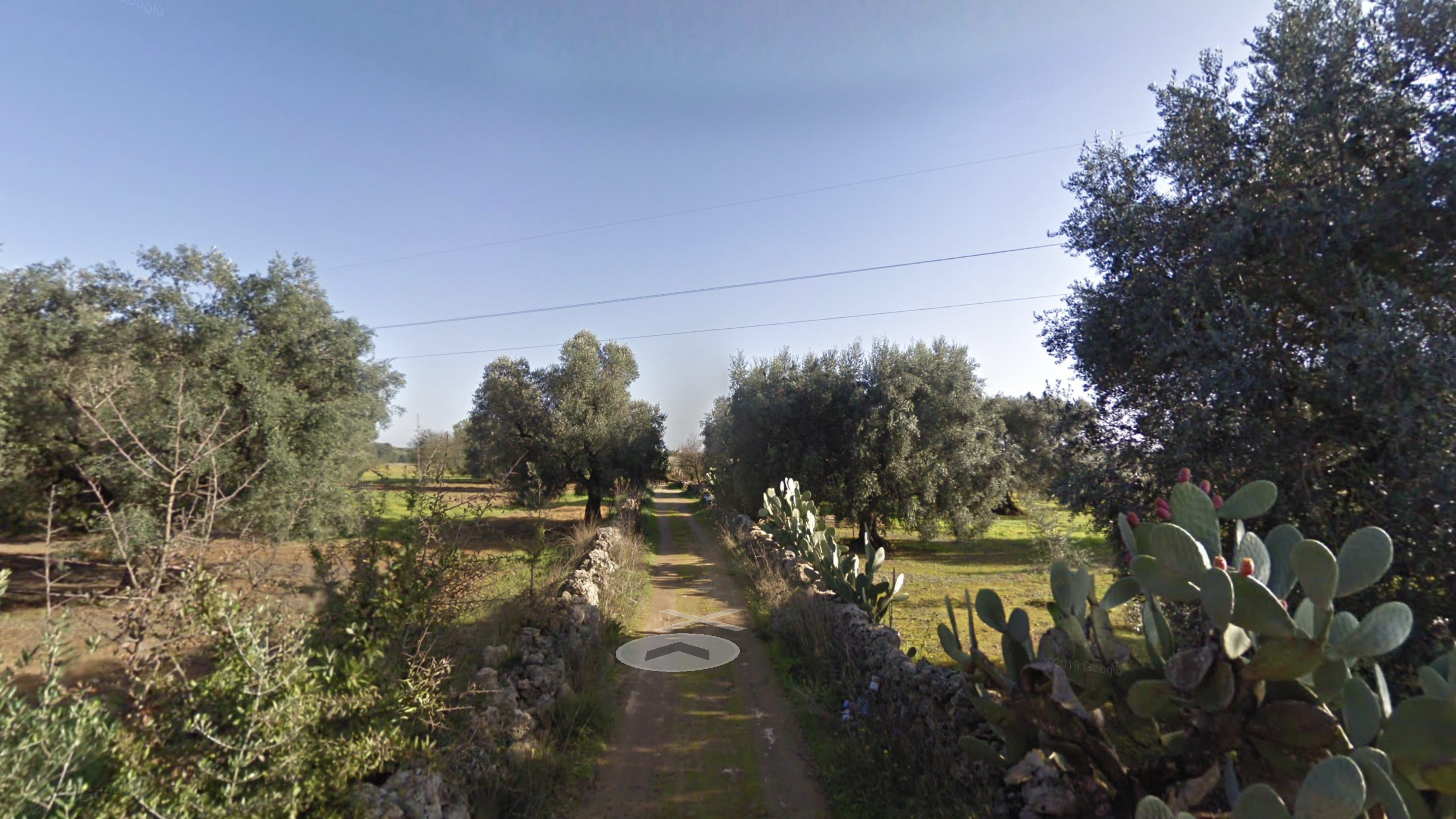
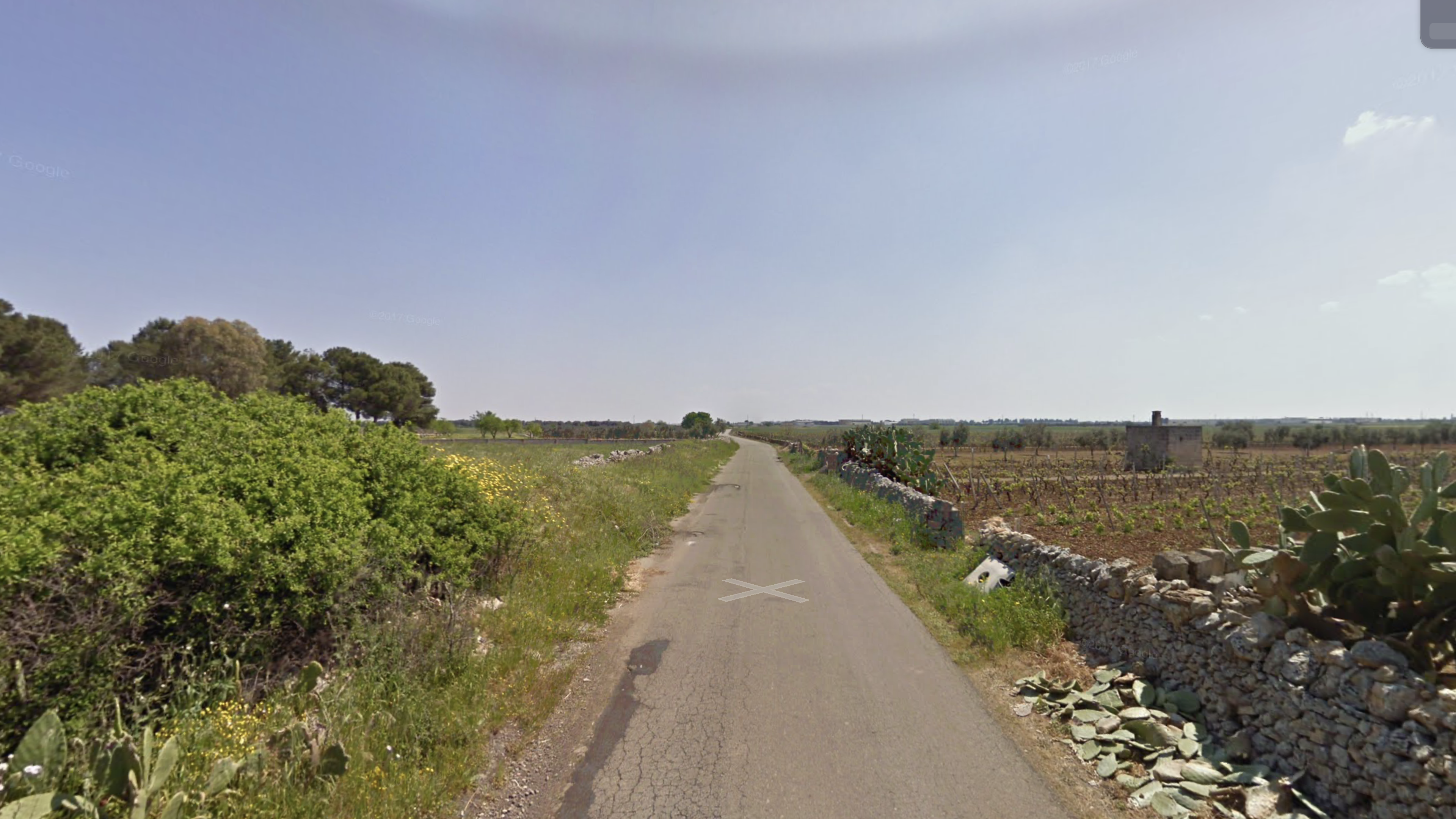
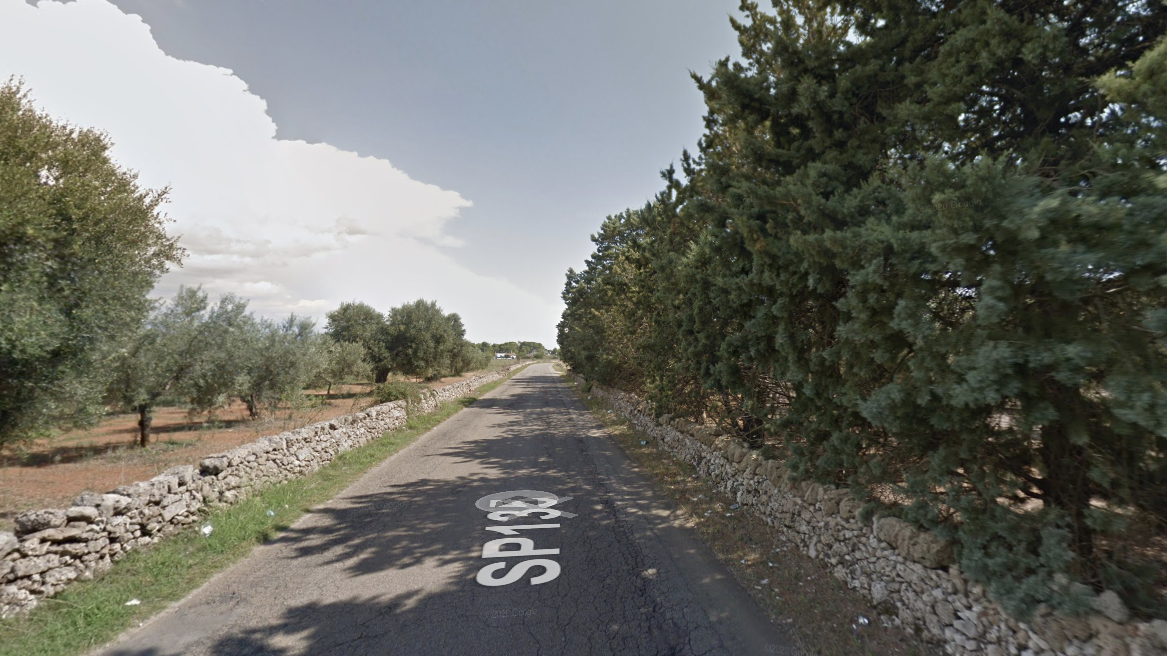
ITINERARY OF THE VILLAGES AMONG OLIVE GROVES AND VINEYARDS
By bike:
Path length: 24,2 km
Path width: variable from 2mt to 5mt
It has no parking areas
Longitudinal slope: 37mt
Path pavement type: paved road
Pedestrian:
Path length: 23,3 km
Path width: variable from 4mt to 7m
It has no parking areas
Longitudinal slope: 26mt
Path pavement type: paved road
Public transport:
There is no direct connection between the two locations on the route, you need to use FSE railway to Manduria-Salice Salentino and 103 route managed by COTRAP consortium, switching at Salice Salentino.
Practicability: by bus
It has no parking areas
By bike:
Path length: 7,2 km
Path width: variable from 2mt to 5m
It has no parking areas
Longitudinal slope: 10m mostly flat
Path pavement type: dirt and at times paved road
Pedestrian:
Path length: 6,2 km
Path width: variable from 4mt to 7m
It has no parking areas
Longitudinal slope: 10m mostly flat
Path pavement type: dirt and at times paved road
Public transport:
The main extra-urban public transport lines for the chosen route are managed by the COTRAP consortium: Lines 106, 103 (outward trip to Leverano), Lines 118, 119, 121 (outward trip to Veglie)
By bike:
It has no handrails
Path length: 15,9 km
Path width: variable from 2mt to 6m
It has no parking areas
Longitudinal slope: 44m mostly flat
Cross slope: not detected
Path pavement type: paved road
Pedestrian:
It has no handrails
Path length: 15,5 km
Path width: variable from 2mt to 6m
It has no parking areas
Longitudinal slope: 44m - mostly flat
Cross slope: not detected
Path pavement type: paved road
Public transport:
The main extra-urban public transport lines for the chosen route are managed by the COTRAP consortium:
- Line 98 (outward trip to Galatina)
- Line 49 change with 121 (outward trip to Copertino)
- Line 49 change with 349 (outward trip to Copertino)
It has no handrails
Practicability: by bus
It has no parking areas
By bike:
It has no handrails
Path length: 8,3 km
Path width: variable from 6mt to 8m
It has no parking areas
Longitudinal slope: 12m mostly flat
Cross slope: not detected
Path pavement type: paved road
Pedestrian:
It has no handrails
Path length: 10,4 km
Path width: variable from 3mt to 8m
It has no parking areas
Longitudinal slope: 8m - mostly flat
Cross slope: not detected
Path pavement type: paved road e strada sterrata
Public transport:
The main extra-urban public transport lines for the two planned itineraries are managed by STP and FSE agencies:
- Line 98 (outward trip to Galatina)
- Line 341 (round trip) towards Maglie
- Line 52 (round trip) towards Galatina
- FSE bus to Maglie (FSE Line)"
It has no handrails
Practicability: by bus
It has no parking areas
By bike:
It has no handrails
Path length: 7,3 km
Path width: variable from 3mt to 8m
It has no parking areas
Longitudinal slope: 12m mostly flat
Cross slope: not detected
Path pavement type: paved road
Pedestrian:
It has no handrails
Path length: 7,3 km
Path width: variable from 3mt to 8m
It has no parking areas
Longitudinal slope: 10m - mostly flat
Cross slope: not detected
Path pavement type: paved road
Public transport:
The main extra-urban public transport lines for the chosen route are managed by the COTRAP consortium:
- Line 98 (outward trip to Galatina)
- Line 86 (round trip)
- Line 52 (round trip)
It has no handrails
Practicability: by bus
It has no parking areas
By bike:
The route follows the Tre Mari Cycle Path (RPO6) of the Regional Network and it is the relevant onne from the landscape point of view.
It has no handrails
Path length: 6 km
Path width: variable from 2mt to 5m
It has no parking areas
Longitudinal slope: 6m mostly flat
Cross slope: not detected
Path pavement type: paved road ma disconnessa in molti punti
Pedestrian:
It has no handrails
Path length: 6,6 km
Path width: variable from 4mt to 7m
It has no parking areas
Longitudinal slope: 10m - mostly flat
Cross slope: not detected
Path pavement type: paved road ma disconnessa in molti punti
Public transport:
The main extra-urban public transport lines for the chosen route are managed by the COTRAP consortium:
- Line 119, 184 (outward trip to Leverano)
- Line 98, 289 (outward trip to Copertino)
- Line 118, 121 (round trip)
It has no handrails
Practicability: by bus
It has no parking areas
By bike:
It has no handrails
Path length: 12,6 km
Path width: variable from 2mt to 5m
It has no parking areas
Longitudinal slope: 67m
Cross slope: not detected
Path pavement type: Parzialmente sterrato ed asfaltato.
Pedestrian:
It has no handrails
Path length: 10 km
Path width: variable from 4mt to 7m
It has no parking areas
Longitudinal slope: 69m
Cross slope: not detected
Path pavement type: paved road ma disconnessa in molti punti
Public transport:
There is no direct connection between the two locations on the route, you must use 164 and 223 lines of CTP agency, changing in Maruggio:
- Line 164 (round trip): Maruggio – Campomarino – Torricella – Librari – Lizzano – Faggiano – Lido Silvana – Pulsano – Leporano – Talsano – Taranto – Cantieri Navali – Area Industriale.
- Line 223: Maruggio - Manduria - Uggiano Montefusco - Sava - Fragagnano - San Marzano Di San Giuseppe - Grottaglie.
It has no handrails
Practicability: by bus
It has no parking areas
By bike:
The route follows the Tre Mari Cycle Path (RPO6) of the Regional Network and it is for a good part on an exclusive cycle path.
It has no handrails
Path length: 20,1 km
Path width: variable from 3mt to 9m
It has no parking areas
Longitudinal slope: 94m in gran parte pianeggiante
Cross slope: not detected
Path pavement type: paved road.
Pedestrian:
It has no handrails
Path length: 20,9 km
Path width: variable from 3mt to 8m
It has no parking areas
Longitudinal slope: 94m mostly flat
Cross slope: not detected
Path pavement type: paved road
Public transport:
The main extra-urban public transport lines for the planned itineraries are managed by the STP and FSE agencies:
- Line 94 (round trip) towards Otranto
- Line 52 (round trip) towards Galatina
- Line 86 (round trip) towards Galatina
- Line 341 (round trip) towards Cutrofiano
- Bus Otranto towards Otranto, FSE line
It has no handrails
Practicability: by bus
It has no parking areas
By bike:
It has no handrails
Path length: 12,2 km
Path width: variable from 2mt to 5m
It has no parking areas
Longitudinal slope: 19m in gran parte pianeggiante
Cross slope: not detected
Path pavement type: Parzialmente sterrato ed asfaltato ma disconnesso in molti punti
Pedestrian:
It has no handrails
Path length: 11,4 km
Path width: variable from 4mt to 7m
It has no parking areas
Longitudinal slope: 19m mostly flat
Cross slope: not detected
Path pavement type: asfaltata ma disconnessa in molti punti
Public transport:
The main extra-urban public transport lines for the chosen route are managed by the COTRAP consortium and the FSE agency:
- Line 289 (one way)
- Line 86 (round trip)
- Line 92 (round trip)
- Bus FSE (FSE line)
It has no handrails
Practicability: by bus
It has no parking areas
By bike:
It has no handrails
Path length: 10 km
Path width: variable from 4mt to 7m
It has no parking areas
Longitudinal slope: 21m
Cross slope: not detected
Path pavement type: La prima parte (da Pulsano) è asfaltata fino all’incrocio con la SP 110 mentre la seconda parte è parzialmente sterrata fino a Lizzano
Pedestrian:
It has no handrails
Path length: 9,6 km
Path width: variable from 4mt to 7m
It has no parking areas
Longitudinal slope: 17m
Cross slope: not detected
Path pavement type: La prima parte (da Pulsano) è asfaltata fino all’incrocio con la SP 110 mentre la seconda parte è parzialmente sterrata fino a Lizzano
Public transport:
The main extra-urban public transport line for the planned route is managed by the CTP agency:
- Line 164 (round trip) Maruggio – Campomarino – Torricella – Librari – Lizzano – Faggiano – Lido Silvana – Pulsano – Leporano – Talsano – Taranto – Cantieri Navali – Area Industriale.
- Line 222 (round trip) Lizzano – Pulsano – Faggiano – Roccaforzata – Monteparano – San Giorgio Jonico – Grottaglie.
- Line 295 (round trip) Manduria – Maruggio – Librari – Lizzano – Faggiano – Pulsano – Leporano – Talsano – Taranto.
It has no handrails
Practicability: by bus
It has no parking areas
By bike:
It has no handrails
Path length: 8,4 km
Path width: variable from 2mt to 5m
It has no parking areas
Longitudinal slope: 29m percorso in gran parte pianeggiante
Cross slope: not detected
Path pavement type: parzialmente sterrato e asfaltato
Pedestrian:
It has no handrails
Path length: 7,7 km
Path width: variable from 4mt to 7m
It has no parking areas
Longitudinal slope: 29m percorso in gran parte pianeggiante
Cross slope: not detected
Path pavement type: asfaltata ma disconnessa in molti punti
Public transport:
The main extra-urban public transport line for the planned route is managed by CTP agency:
- Line 223 (round trip): Maruggio - Manduria - Uggiano Montefusco - Sava - Fragagnano - San Marzano Di San Giuseppe – Grottaglie.
It has no handrails
Practicability: by bus
It has no parking areas
Gallery
